WEBINAR RECORDING

Improving Mapping Accuracy Through
Aerial Triangulation
With New Correlator3D Version 11.1
Aerial triangulation is a critical step in producing accurate mapping deliverables. With Correlator3D Version 11.1, this workflow has been significantly improved to deliver more robust results on challenging datasets, simplify
multi-camera project setup, and accelerate bundle adjustment.
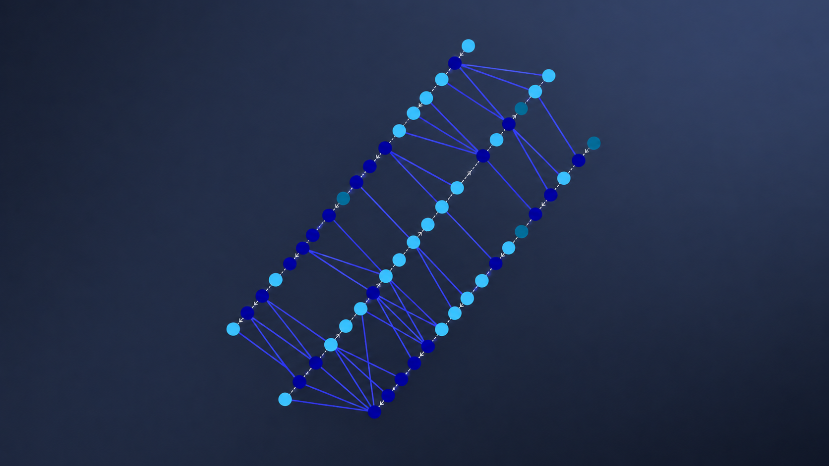
This webinar presents the latest aerial triangulation capabilities in Correlator3D, including improved tie point extraction, new validation tools, direct georeferencing, and assisted RTK/PPK processing. These enhancements help streamline production while maintaining the accuracy required for professional mapping projects.

Guest
David Alamillo
Photogrammetry Specialist

Host
Michael O'Sullivan
VP Sales
Topics covered include:
- Processing challenging datasets with improved tie point extraction
- Simplifying multi-camera workflows
- Improving georeferencing with Direct Georeferencing and Assisted RTK/PPK
- Accelerating bundle adjustment and validating results using new visualization tools