 FRANÇAIS
 ESPAÑOL
 PORTUGUÊS
 日本の
日本の 简体中文
简体中文 한국어
한국어CASE STUDY
Drone Mapping Across Malaysia with Correlator3D
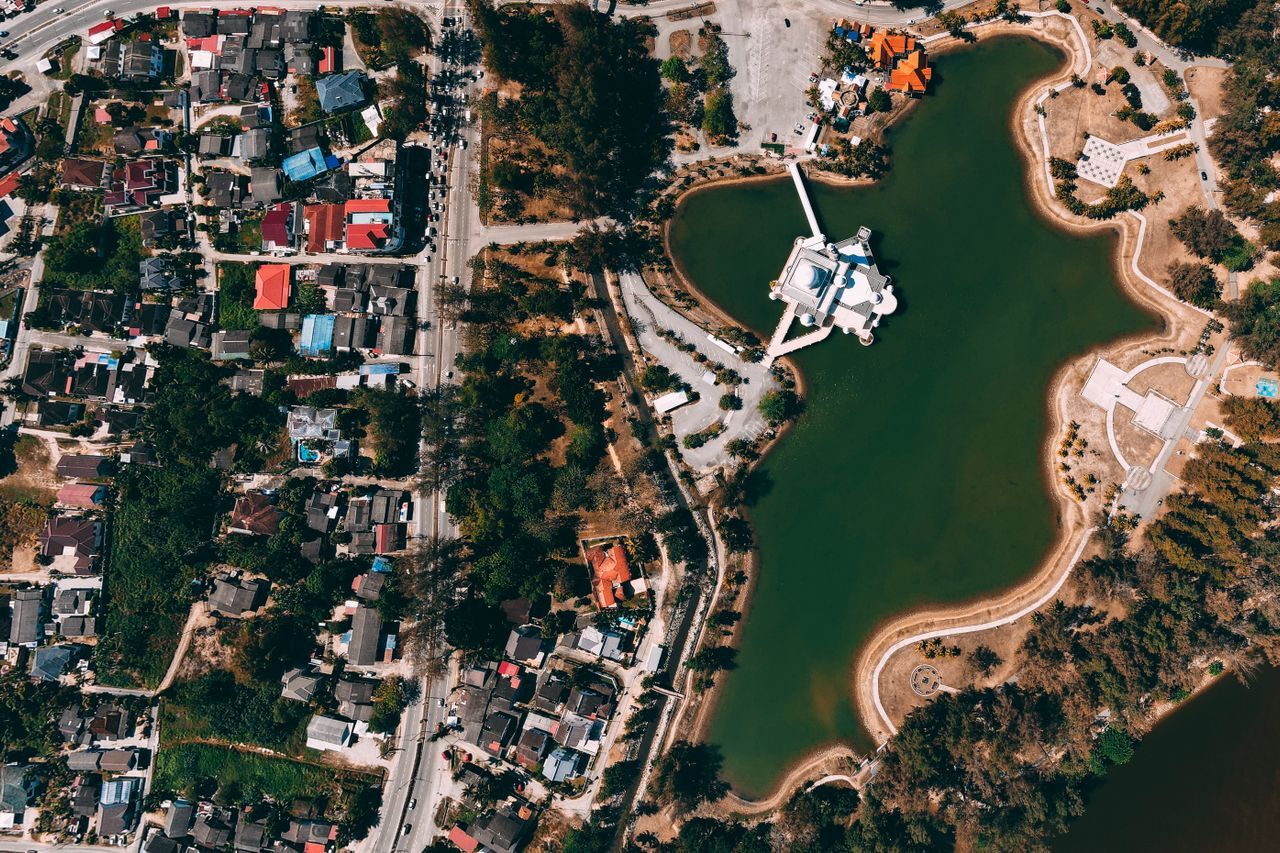
The Department of Survey and Mapping Malaysia (JUPEM) is responsible for supporting the country’s survey, mapping and geospatial requirements. Correlator3D is deployed within JUPEM for geospatial data processing, with licenses in use in all 12 states. This includes work involving drone imagery for topographic mapping and map updates.
INDUSTRY
Government Mapping
COUNTRY
Malaysia
USE CASE
Processing drone imagery for topographic mapping and map updates
CHALLENGES
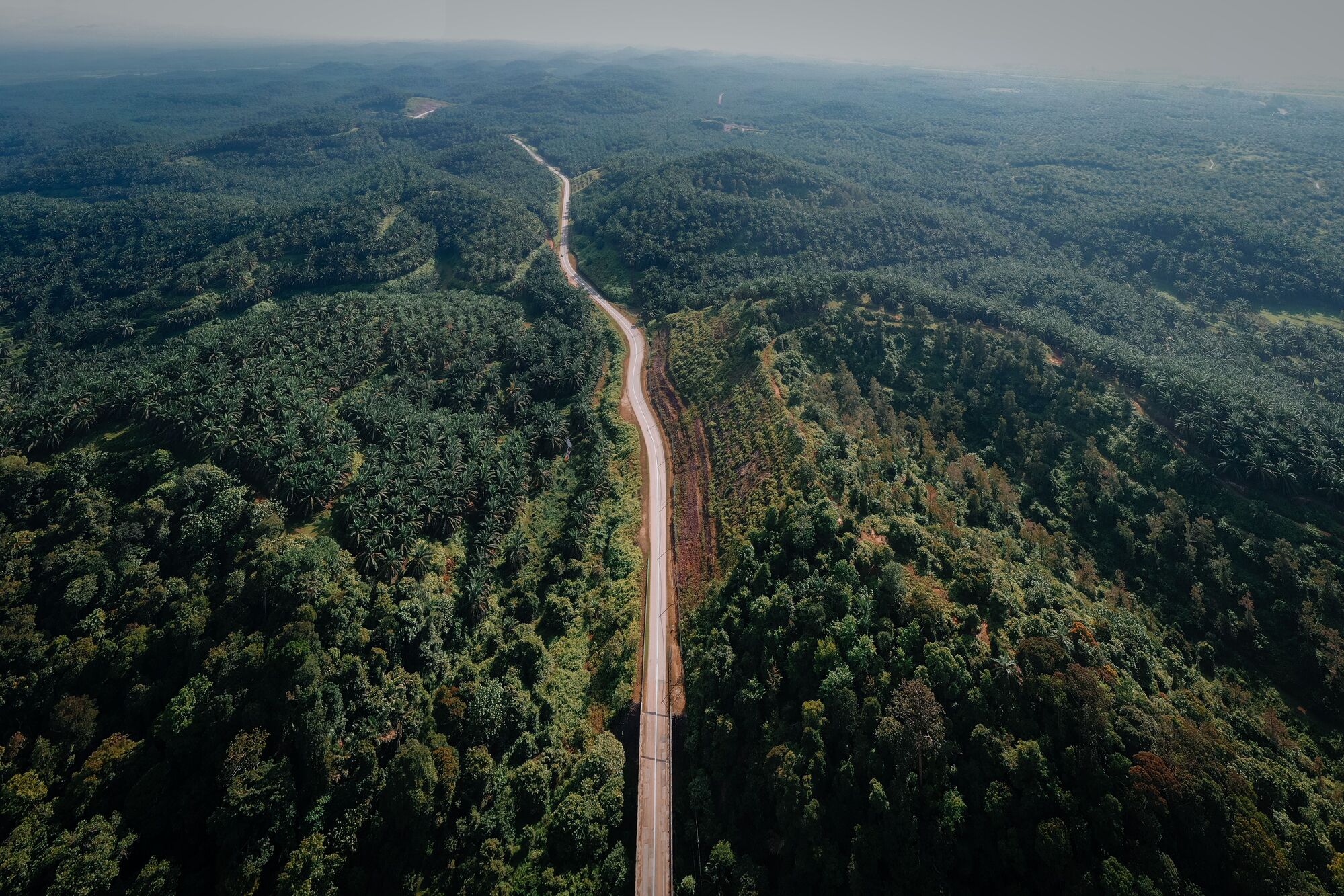
- Mapping dense forests, hilly terrain and difficult-to-access areas
- Acquiring imagery within unpredictable rain and weather conditions
- Combining imagery collected during multiple drone missions
- Processing large volumes of high-resolution imagery efficiently
BENEFITS
- Fast processing of high-resolution drone datasets
- Ability to handle imagery collected over multiple missions
- Production of accurate and consistent mapping deliverables
- Scalable processing for recurring government mapping activities

“The end product is very good and the processing is very fast compared to their previous software.”
HAMDAN ISMAIL
MANAGING DIRECTOR, SKY-SHINE CORPORATION,SUPPORTING JUPEM WITH GEOSPATIAL TECHNOLOGY INCLUDING CORRELATOR3D
WORKFLOW
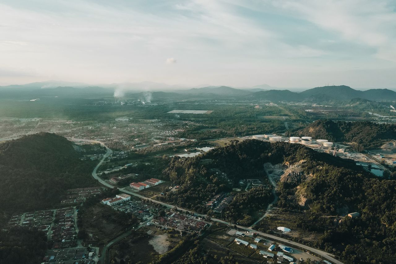
JUPEM uses drones to support mapping activities in areas where updated geospatial information is required. Drone acquisition provides the flexibility to collect high-resolution imagery over localized areas and respond to changing development and mapping needs. JUPEM has also used drone imagery as part of its ongoing topographic map updating activities.
Malaysia’s terrain often requires acquisitions to be divided into multiple missions. Hilly areas, dense vegetation and the need to maintain safe operating conditions can require crews to reposition between flights. Weather further influences acquisition planning, particularly during periods of frequent rain and strong winds.
Once acquired, imagery is processed with Correlator3D to generate geospatial products. The software supports high-resolution imagery from cameras ranging from smaller drone sensors to larger cameras. Processing capabilities include photogrammetric adjustment, surface generation, orthorectification, mosaicing and point-cloud colorization.
DELIVERABLES
Typical products include orthomosaics, digital surface models, digital terrain models and colorized point clouds used to support topographic mapping and other geospatial applications.
BENEFITS
Correlator3D provides JUPEM with a fast and scalable environment for processing high-resolution imagery while maintaining the quality required for government mapping. Its ability to work with large datasets and imagery collected over multiple missions is particularly valuable in Malaysia’s challenging terrain and acquisition conditions. JUPEM users have reported strong output quality and significantly faster processing compared with their previous software.
ABOUT JUPEM
The Department of Survey and Mapping Malaysia (JUPEM) is Malaysia’s national authority for surveying, mapping and geospatial information. The organization provides survey, mapping and geospatial services supporting government, development, infrastructure and other public-sector activities throughout the country. For more information, visit www.jupem.gov.my