 FRANÇAIS
 ESPAÑOL
 PORTUGUÊS
 日本の
日本の 简体中文
简体中文 한국어
한국어CASE STUDY
Large-Scale Green Hydrogen Mapping with Correlator3D
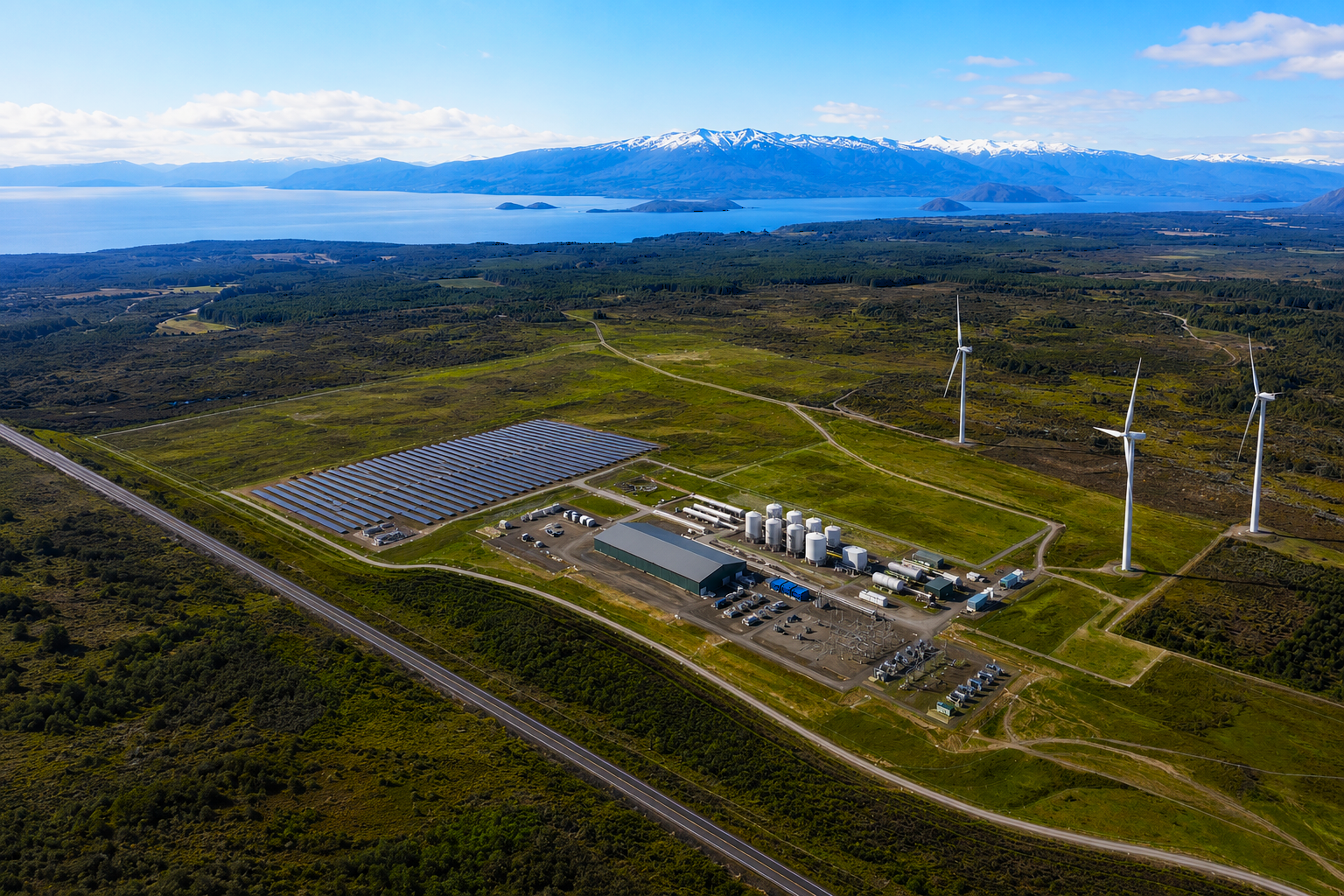
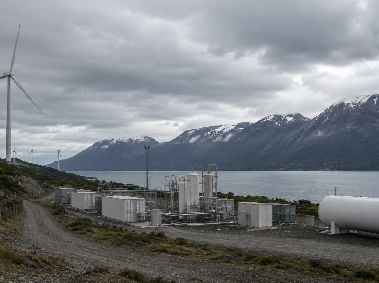
Geo4D, a Chilean company specializing in photogrammetry and LiDAR, carried out a major aerial mapping project for a green hydrogen development in southern Chile. Covering more than 100,000 hectares, the project required accurate geospatial data to support engineering and planning in one of Patagonia’s most demanding environments. The remote location, strong winds, short daylight hours and variable imagery made both acquisition and processing particularly challenging. SimActive’s Correlator3D enabled Geo4D to process large datasets from multiple sensors and deliver accurate orthomosaics, digital terrain models and contour lines within the required timelines.
INDUSTRY
Renewable Energy
COUNTRY
Chile
USE CASE
Large-scale aerial mapping for green hydrogen development
CHALLENGES
- Mobilizing personnel and equipment to a remote region with limited access and restricted ground areas
- Capturing more than 100,000 hectares during short daylight and weather windows affected by strong winds and turbulence
- Processing high-resolution imagery with variable exposure, cloud cover, seasonal differences and aircraft drift
- Meeting 1:1,000 scale accuracy requirements across a large and complex project area
BENEFITS
- Efficient processing of large Phase One and drone imagery datasets
- Reliable correlation across imagery captured with different sensors and under changing conditions
- Accurate horizontal and vertical results through PPK positioning and extensive ground control
- Integrated DSM editing for clean terrain models and consistent orthomosaics

“Correlator3D allowed us to process challenging imagery and confidently deliver the accurate mapping products our client required.”
FRANCISCO RAMOS
CEO OF GEO4D
WORKFLOW
Geo4D completed the project in several stages using a Phase One iXA 180 camera with KlauPPK positioning. Imagery was captured at a 9 cm ground sample distance so fences and other important features could be identified reliably. Flight plans were adapted to changing wind directions, with forward overlap ranging from 60% to 75% and sidelap from 20% to 50%. Trinity F90+ and DJI Mavic 3 Enterprise drones were also used for selected smaller areas and connections with bathymetric surveys.
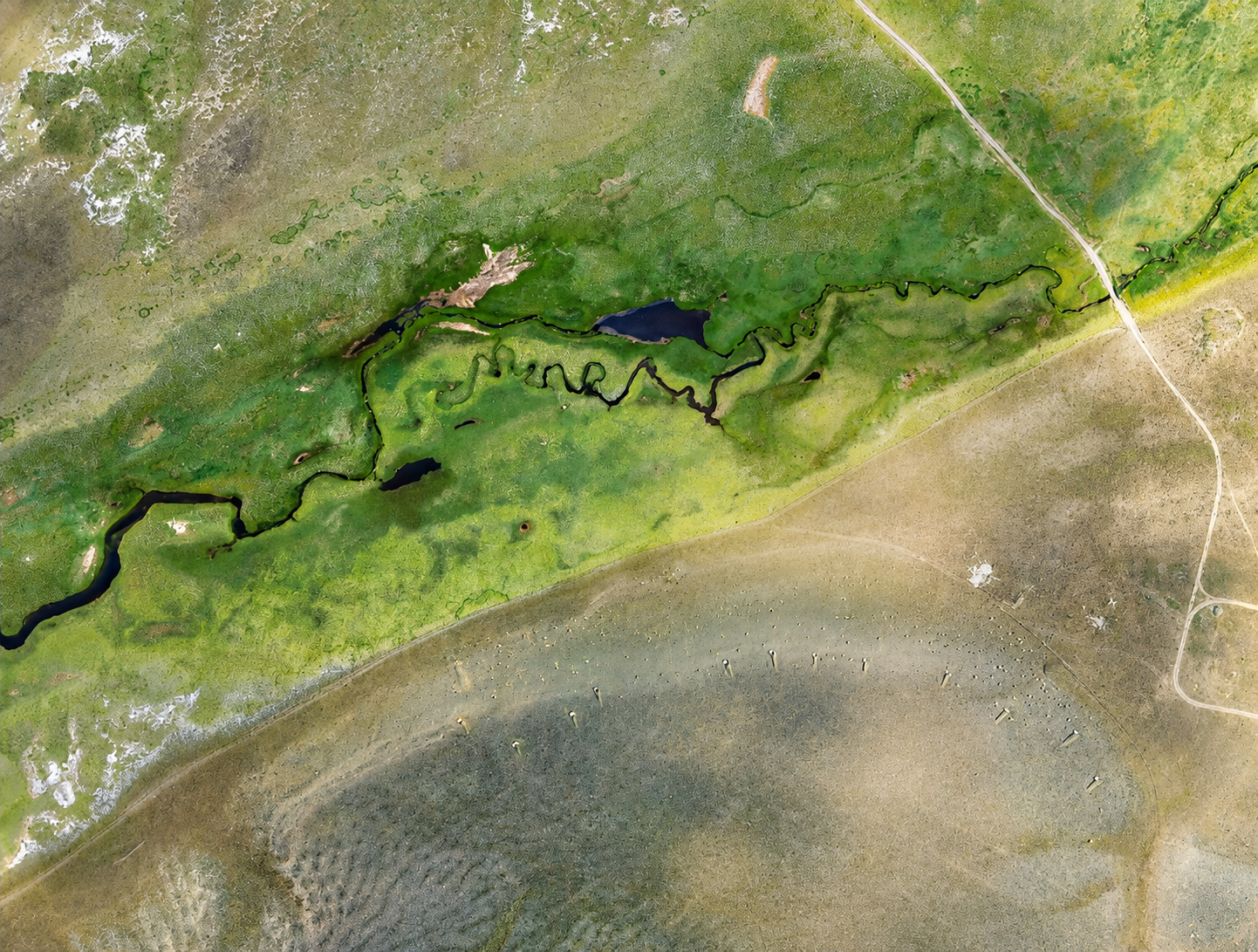
After PPK processing, Geo4D imported the imagery and corrected exterior orientation data into Correlator3D. The project was divided into manageable blocks to simplify quality control and the use of approximately 200 surveyed control and check points. Correlator3D was used for aerial triangulation, surface model generation, DTM extraction, orthorectification and mosaicing. Its DSM editing tools helped remove artifacts around ponds and coastal areas, while automated color balancing produced consistent mosaics from imagery captured under widely varying conditions. Checkpoint results showed horizontal and vertical accuracy between 15 and 25 cm at two sigma.
DELIVERABLES
High-resolution orthomosaics, cleaned digital terrain models, contour lines at 0.5 m intervals and extracted vector features including fences, tracks, structures and drainage networks.
BENEFITS
Correlator3D enabled Geo4D to transform difficult imagery from a large and remote project into accurate, engineering-grade mapping products. The software handled changing acquisition conditions and extensive datasets while providing the editing and quality-control tools needed to meet the client’s accuracy and delivery requirements.
ABOUT GEO4D
Founded in 2017, Geo4D is a Chilean geospatial company specializing in photogrammetry, LiDAR, surveying and mapping. The company supports energy, mining and infrastructure projects throughout Chile, combining field expertise with advanced data acquisition and processing technologies. For more information, visit www.geo4d.cl.