ISG Using Lidar to Support Photogrammetric Projects with SimActive Software
SimActive Inc. is proud to announce the use of its Correlator3D product by ISG, Inc. for land development projects. Lidar is being merged with aerial imagery to facilitate the rapid delivery of map products to developers.
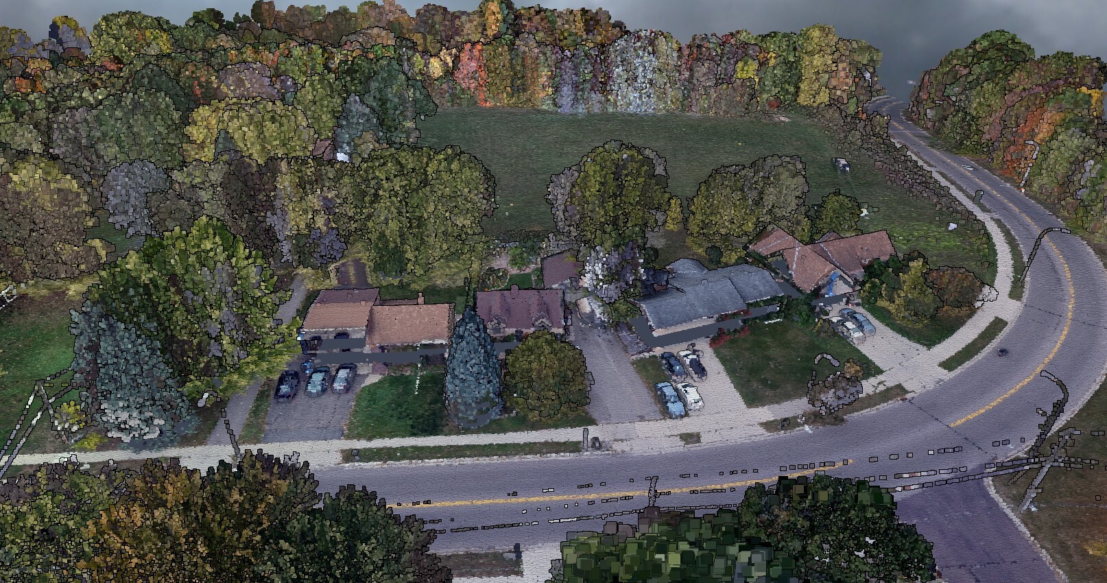
ISG is supporting land developers based in the Midwest with advanced technologies to ensure site surveys, progress reports, and recurring quantity estimates are delivered without delay to keep these projects moving along. Their drone fleet includes a Riegl lidar system in parallel with dual cameras for rapid acquisition. The lidar is converted into a surface in Correlator3D, which is then used to orthorectify the aerial imagery.
The ability to import lidar data and replace the surface generation (DSM) step in Correlator3D’s workflow is a game changer
“The ability to import lidar data and replace the surface generation (DSM) step in Correlator3D’s workflow is a game changer” said Brad Kruse, UAV Specialist at ISG. “This can greatly reduce processing time, and the colorization of the point cloud data is extremely useful to our other departments working on these projects.”
About ISG, Inc
Founded in 1973, ISG, Inc. is a nationally recognized multi-disciplinary design and engineering firm offering architecture, engineering, environmental and planning capabilities with over 400 employees, and 11 offices throughout the United States. UAS operations include aerial imagery, video, and lidar acquisition. For more information, visit www.isginc.com.