Kenyan Government Mapping Mines with Correlator3D™
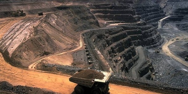
SimActive Inc., is pleased to announce that the Directorate of Resource Surveys & Remote Sensing (DRSRS) under the Ministry of Mining in Kenya is using Correlator3D™ for extensive mapping of mining activities. The software generates orthomosaics, contour lines, and digital terrain models of fluorspar mines in the Kerio valley in Kenya.
“The DRSRS provides the Ministry of Mining with spatial information, processing hundreds of images to visualize settlements affected by mining activities to advise the Government of Kenya on compensation plans,” said Mr. Charles Situma, Deputy Director, in-charge of the project. “SimActive’s availability of experts internally allows us to receive tailored solutions to our requests, further expediting our processing.”
SimActive’s availability of experts internally allows us to receive tailored solutions to our requests, further expediting our processing.
“We are proud to have Kenya as another of our many government users,” said Dr Philippe Simard, President of SimActive. “Correlator3D™ provides the diverse tools and processing power required for intensive mining applications.”
About DRSRS
The Department of Resource Surveys and Remote Sensing (DRSRS) was established in 1976 as the Kenya Rangeland Ecological Monitoring Unit (KREMU). The overall objective of DRSRS is to gather and analyse data and information regarding the natural resources of Kenya and to provide interdisciplinary analysis of such information as it relates to natural resources planning, management and policy formulation at a national, regional and district level. In assessing natural resources, DRSRS primarily employs aerial survey methods in gathering data, while ground surveys are undertaken primarily for ground-truthing. Other modern technology including satellite images (NOAA, Landsat and Spot) and Geographic Information System (GIS) facilitate development and use of database of natural resources. These data are a valuable source of information on the distribution, abundance and trend of wildlife/livestock populations and environmental conditions within the Kenya rangelands. For more information, visit drsrs.mining.go.ke.