SimActive Enables 3D Calculations from Drone Imagery at Mining Sites
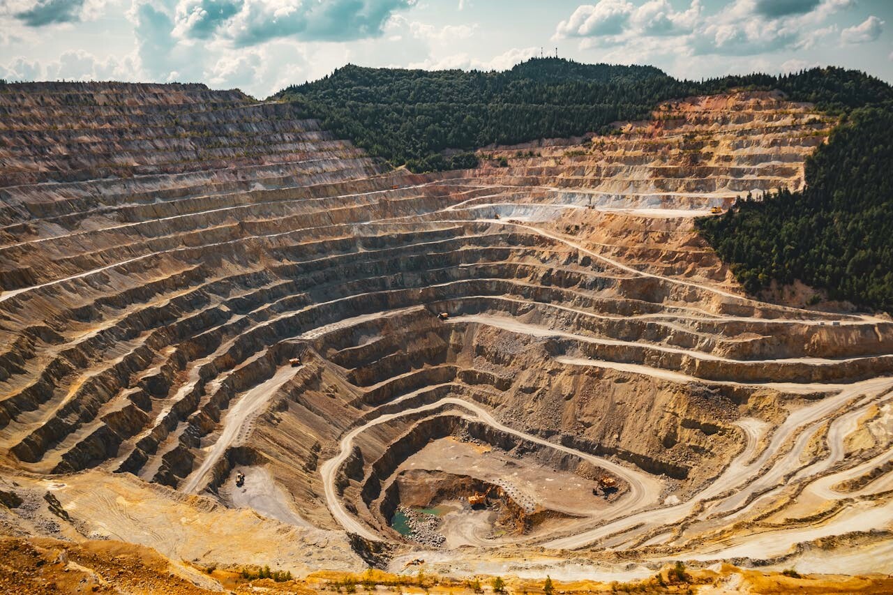
SimActive Inc. announces that its Correlator3D software is deployed in Germany for volumetric calculations from drone imagery. The technology generates dense point clouds at mining sites, enabling precise volume measurements and terrain analysis.
“Using drone photogrammetry with Correlator3D, our clients measure stockpiles and excavation progress with high accuracy.”
Mines use Correlator3D’s automated processes to streamline point cloud generation and extract 3D information for operational decisions. The workflow supports frequent data collection, providing operators near real-time awareness of ground changes.
“Using drone photogrammetry with Correlator3D, our clients measure stockpiles and excavation progress with high accuracy,” said Stefan Loeser, Technical Manager at geo‑konzept. “It improves planning, reduces manual effort, and increases safety.”
About geo-konzept
geo‑konzept is a German company specializing in geospatial solutions for agriculture, environmental monitoring, mining, and infrastructure sectors. With expertise in GPS/GIS technologies, drone surveying, and precision farming, geo‑konzept delivers innovative systems for data acquisition and analysis. The company also develops customized solutions integrating UAVs, sensors, and software to support efficient, data-driven decision-making. For more information, visit www.geo-konzept.de