SimActive Powers Lidar–Imagery Integration for Enhanced Mapping Accuracy
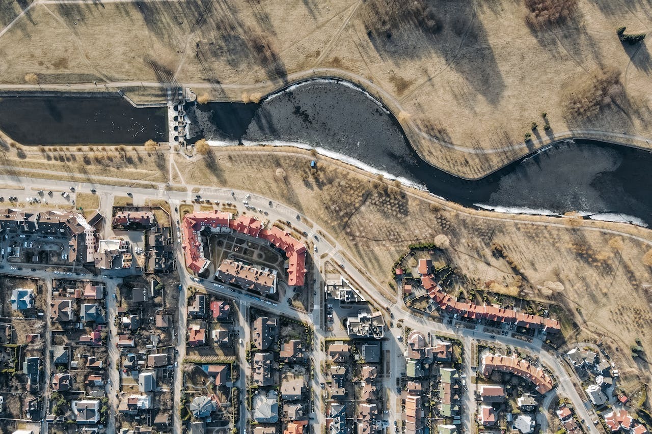
SimActive Inc. announces that its Correlator3D™ software is being used alongside Teledyne Optech sensors for advanced mapping applications. The combination of Correlator3D with Teledyne’s lidar and imaging systems enables efficient data integration, producing highly accurate, colorized point clouds and orthomosaics.
“Correlator3D offers the accuracy and flexibility needed to merge lidar and
imagery effectively.”
Teledyne Optech airborne sensors capture both lidar and imagery to deliver comprehensive terrain information. Correlator3D processes these datasets seamlessly, ensuring precise registration between the two and maximizing the quality of final outputs. The complementary technologies allow mapping professionals to generate reliable, high-resolution results for engineering, infrastructure, and environmental projects.
“Our technologies work really well together,” said Matthew Johnson, Product Manager at Teledyne Geospatial. “Correlator3D offers the accuracy and flexibility needed to merge lidar and imagery effectively.”
About Teledyne Optech
Teledyne Optech is a world leader in high-accuracy lidar solutions and productivity-enhancing real-time workflows. With operations and staff worldwide, Teledyne Optech offers solutions for topographic and marine mapping, defense and electric utility inspection. For more information visit www.teledyneoptech.com.