SimActive Software Saving Hours for DJI Drone Surveys
SimActive Inc. announces an improved workflow for DJI users. Hours of processing time per project are now saved, with volume measurement, pre-construction planning, land development, and other applications streamlined.
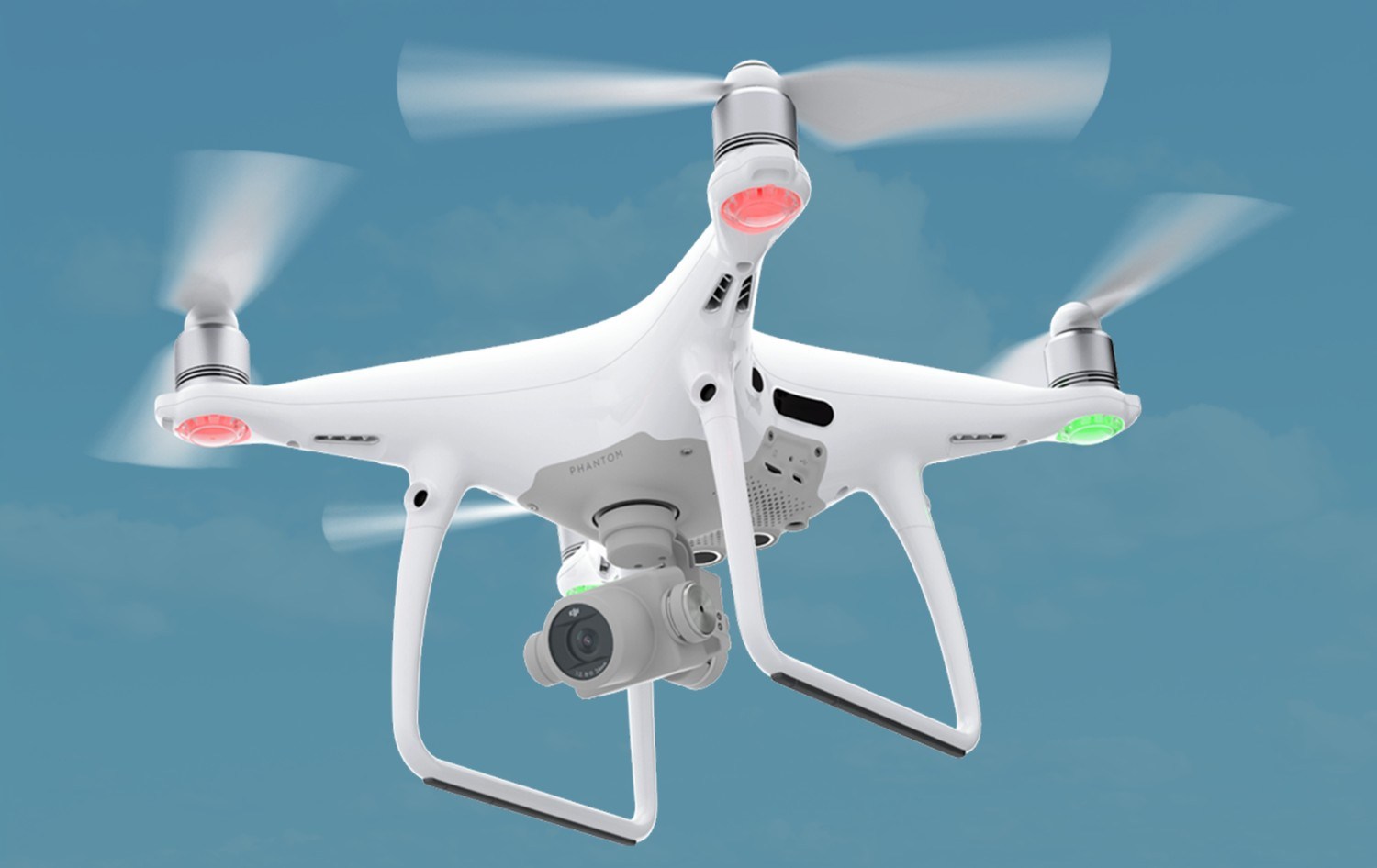
Butler & Associates Inc., a professional surveying firm with over 35 years of experience, is one such user. In conjunction with their DJI Phantom 4 Pro drone imagery, Correlator3D™ is significantly reducing the field work and processing time per project for their topographical surveys.
A high-end mapping tool like Correlator3D™ has delivered incredible value to us and our clients.
“An area of over 20 acres was previously taking us a week to survey using traditional surveying equipment”, said Michael A. Tavener from Butler & Associates. “The same process from acquisition to results can now be fully completed in only 8 hours. The phenomenal technical support and friendly price for such a high-end mapping tool like Correlator3D™ has delivered incredible value to us and our clients.”
About Butler & Associates Inc.
Founded in 1983, Butler & Associates, Inc. provides surveying, mapping and hydrography services to professional clients along the Gulf Coast. Their highly trained technicians use modern, industry-leading equipment including GPS and robotic survey instruments to provide accurate, dependable readings for all surveys. For more information, visit www.butlersurveying.com.