SimActive Software Used for Agricultural Resource Monitoring
SimActive Inc. announces the use of its Correlator3D product by Cornerstone Mapping in Nebraska for agricultural resource monitoring. Aerial imagery is used to assess land cover and use, soil erosion, wetlands issues, and characteristics of other natural resources.
“Correlator3D is designed to do just this with batch processing capabilities via scripted routines. We can trust the software to repeatedly provide high quality data to our QC team.”
As a preferred Federal partner, Cornerstone Mapping is currently working on the Stewardship Lands Imagery Program (SLI) covering large portions of Nebraska. The imagery is collected with an UltraCam Eagle digital sensor as it offers one of the largest footprints available, with a simultaneous 4-band collection.
“Image processing is demanding, especially when dealing with large datasets”, said Aaron Schepers, President of Cornerstone Mapping. “Correlator3D is designed to do just this with batch processing capabilities via scripted routines. We can trust the software to repeatedly provide high quality data to our QC team.”
About Cornerstone Mapping
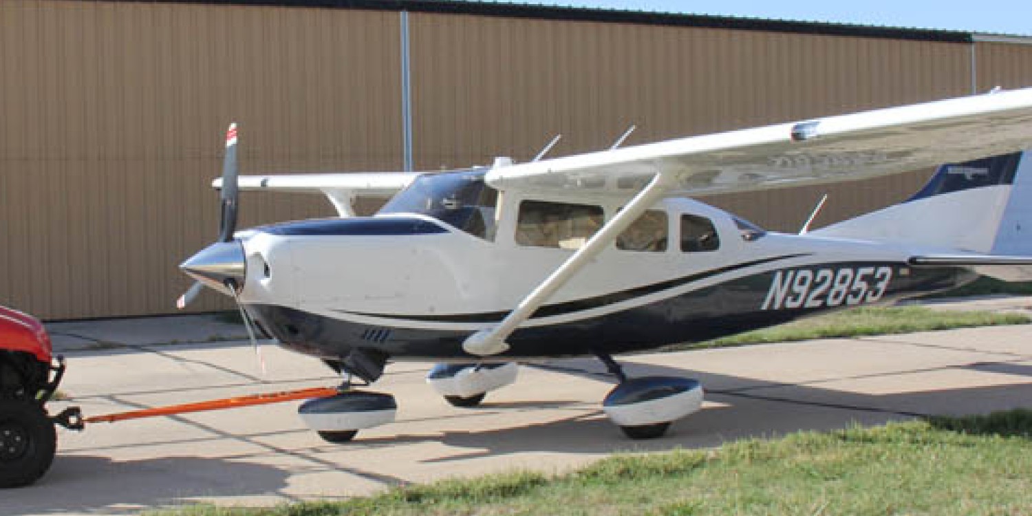
Established in 2002, Cornerstone Mapping is an aerial photography and mapping company headquartered in Nebraska. Operating multiple aircraft and sensors, Cornerstone Mapping acquires imagery and processed data for project throughout the US. As a small business, Cornerstone Mapping is a preferred teaming partner on many Federal projects including the USDA NRCS’s Stewardship Land Inventory (SLI) program. For more information, visit www.cornerstonemapping.com.