SimActive Software Used to Quickly Process Large Datasets
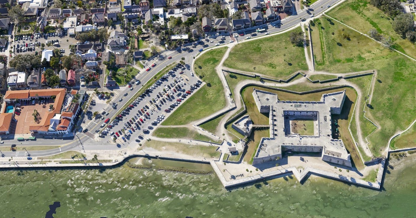
SimActive Inc. announces the use of its Correlator3D product by SurvTech Solutions to process large image datasets from drones and large-format cameras. The software is used to create geospatial products, such as digital surface models and orthomosaics
“We have been using Correlator3D for more than nine years and one of its biggest advantages is how quickly it can process large amounts of data."
Correlator3D is often used in conjunction with LiDAR data to complement imagery. When LiDAR is not used, high-quality surfaces are created from photogrammetry, even for waterbodies, which can be challenging with other tools.
“We have been using Correlator3D for more than nine years and one of its biggest advantages is how quickly it can process large amounts of data”, said Mark Bickel, UAV Department Manager at SurvTech Solutions. “SimActive’s software handles large datasets much better than any other solution out there.”
About SurvTech Solutions
SurvTech Solutions, Inc. is a geospatial firm specializing in land and hydrographic surveying, mapping, and GIS services. They are known for utilizing advanced technology and a team of dedicated professionals to provide comprehensive solutions for a wide range of projects. Headquartered in Tampa, Florida, SurvTech serves clients across the Southeastern United States and beyond. For more information, visit www.survtechsolutions.com.