SimActive Software Used with Skydio Drones for Land Development Projects
SimActive Inc., is pleased to announce the use of its Correlator3D product by Redefined Horizons in Northern California for land development applications. In conjunction with conventional ground survey, Skydio drone imagery is used to create accurate maps of existing parcels for the future land development.
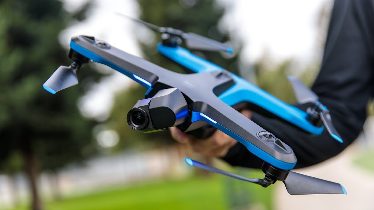
In urban areas of Northern California, there are many parcels that sit unused as if abandoned. As these parcels become more valuable, inevitably a developer will begin the development process which requires a site survey. It is in these smaller in fill situations that drones excel. Lightweight, and with very little visible footprint, small drones such as the Skydio2 can quickly capture the imagery needed for mapping.
“Correlator3D was developed to work with any drone platform while the workflows remain virtually the same”, said Brian Leiser, Principal at Redefined Horizons. “There is no new learning curve, we can trust the software to repeatedly provide high-quality results.”
About Redefined Horizons
Established in 2019, Redefined Horizons is a surveying and mapping company headquartered in Northern California. Operating various UAS, Redefined Horizons acquires imagery and process data on projects throughout the US. For more information, visit www.redefinedhorizons.com.