SimActive Supports Accurate Mapping of Critical Infrastructure Corridors
SimActive announces that its Correlator3D™ software is used by Flyscan Systems Inc. for mapping critical infrastructure such as pipelines. Flyscan collects and processes aerial imagery along corridor environments, producing reliable geospatial datasets for monitoring and planning purposes.
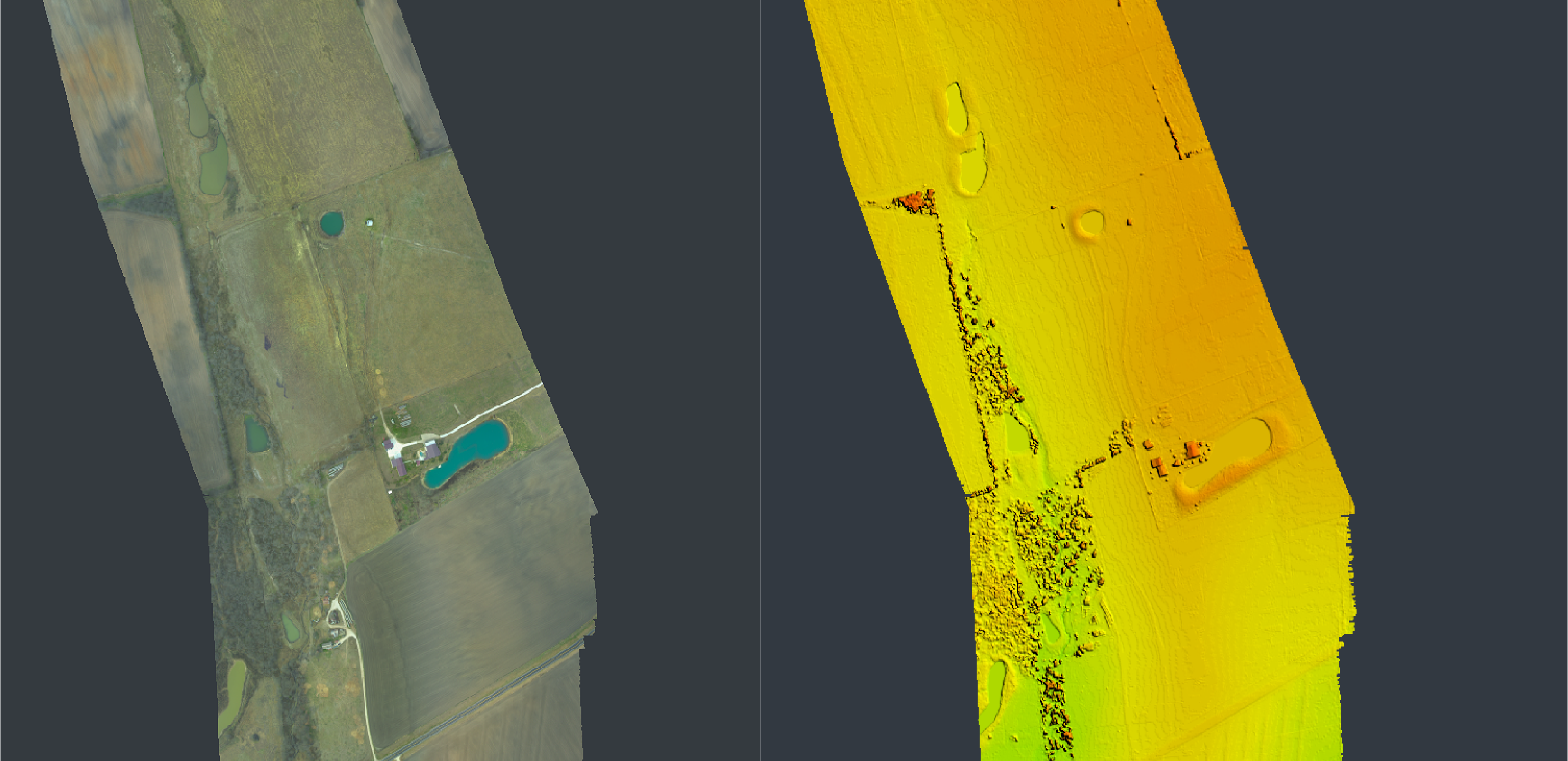
Correlator3D is used to generate high-resolution outputs from photogrammetric workflows while ensuring elevation consistency across long infrastructure corridors. By validating results against publicly available lidar datasets, the Flyscan team confirms elevation accuracy and delivers dependable information for infrastructure operators.
“Using Correlator3D allows us to produce consistent datasets and verify elevation accuracy against lidar references..”
“Mapping linear infrastructure requires both precision and efficient validation methods,” said Veronica Fortin, Geospatial Team Lead at Flyscan Systems Inc. “Using Correlator3D allows us to produce consistent datasets and verify elevation accuracy against lidar references.”
About Flyscan Systems Inc.
Flyscan Systems Inc. is a Canadian technology company specializing in advanced aerial inspection and mapping solutions for critical infrastructure such as pipelines and utility networks. Using proprietary sensors and analytics, Flyscan provides high-precision data to help operators monitor assets, detect risks, and support informed decision-making. For more information, visit www.flyscan.com.