SimActive Used for the Fusion of Lidar and Photogrammetry
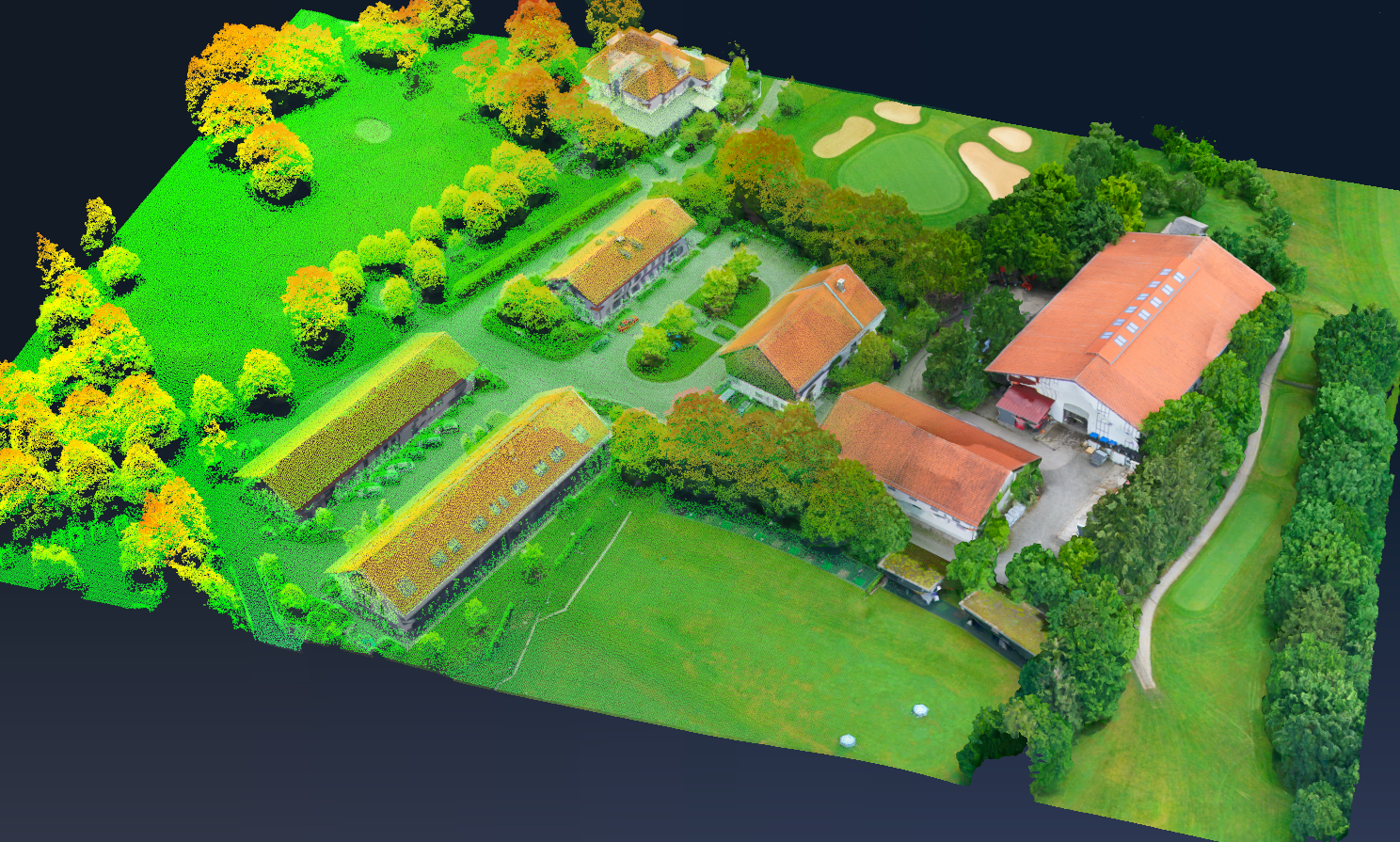
SimActive Inc. announces the use of its Correlator3D software to combine lidar and imagery data for enhanced map product creation. This fusion allows for the direct import of lidar data and its integration with image-derived surfaces and color information, resulting in precise surface models, colorized point clouds, and orthomosaics.
“Correlator3D’s ability to merge multiple datasets is a big advantage to create high-quality mapping products quickly.”
When dual sensor systems are employed, capturing both lidar and imagery, complete coverage is ensured, and superior mapping deliverables can be created for a diverse clientele. Projects like cross-country corridors use imagery to colorize point clouds, aiding in vegetation encroachment analysis. In areas involving water, topobathy lidar is fused with elevations derived from imagery to create a more comprehensive surface model.
“Correlator3D’s ability to merge multiple datasets is a big advantage to create high-quality mapping products quickly”, said Dr Philippe Simard, CEO at SimActive. “Projects can vary from a few flight lines to wide area mapping and Correlator3D handles it all.”