SimActive’s Photogrammetry Software Used by the Geomatics Centre of Quebec
SimActive Inc., is pleased to announce that the Geomatics Centre of Quebec (CGQ) has completed a major mapping project using Correlator3D™. The project was done in collaboration with the Nippour Group, whose responsibilities included extensive quality assurance.
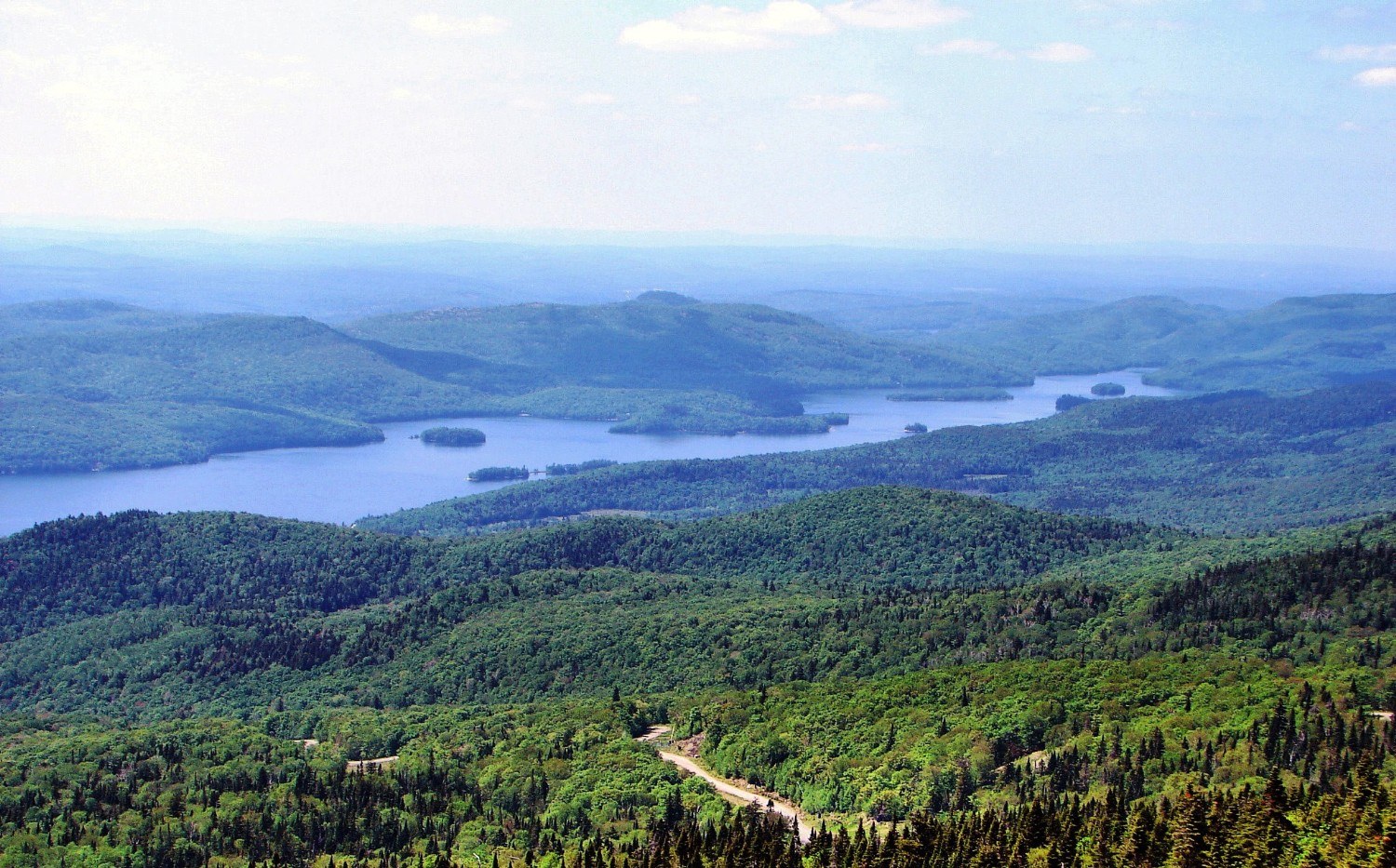
The project involved processing more than 2,200 scanned films at 21cm ground sampling distance (GSD) and generating digital surface / terrain models (DSM/DTM) with 1m grid post spacing. More than 350,000 ground control points were then collected through real-time kinematic GPS by Nippour, and the average vertical error of the final DTM was shown to be less than 27cm.
SimActive’s autocorrelation software allowed us to generate high quality elevation models at low costs compared to other available technologies.
“SimActive’s autocorrelation software allowed us to generate high quality elevation models at low costs compared to other available technologies”, said Josée Dallaire, General Manager of CGQ. “We see several applications for the software in structuring projects.”
About Geomatics Centre of Quebec
The Geomatics Centre of Quebec (CGQ) is a technology transfer centre specialized in geomatics and affiliated with Cégep de Chicoutimi. Its mission is to increase performance of public and private organizations by encouraging the use and development of geomatics through applied research and development, technical support and information diffusion. The professional approach of CGQ allows its partners to benefit from cutting-edge expertise and have access to custom services from a dynamic and innovative team. For more information, visit www.cgq.qc.ca.