 FRANÇAIS
 ESPAÑOL
 PORTUGUÊS
 日本の
日本の 简体中文
简体中文 한국어
한국어CASE STUDY
Rapid Orthos for Planned Burns with Correlator3D
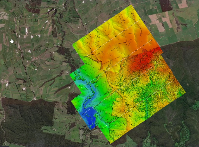
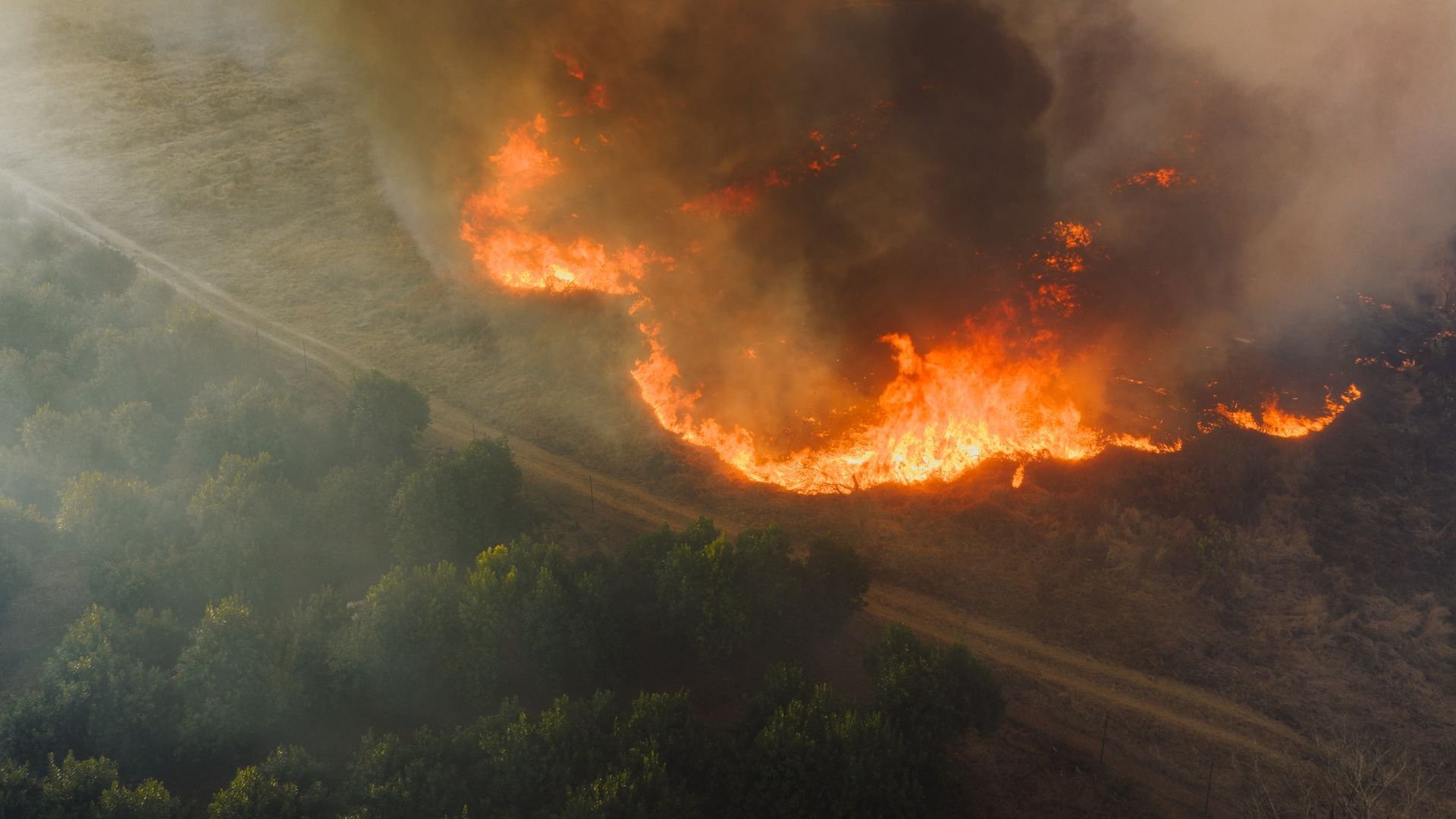
Landair Surveys, a Melbourne-based land and aerial surveying company, captures high-resolution imagery of planned burn sites across Australia. The imagery is used to assess burn extent and severity, supporting future prescribed-burn planning, wildfire prevention and land management. With sites spread across remote and mountainous areas and ready for capture at different times, the team must mobilize quickly and work within narrow weather and sun-angle windows. SimActive’s Correlator3D enables Landair Surveys to process large four-band datasets rapidly while maintaining the spatial accuracy and consistent quality required for operational analysis.
INDUSTRY
Environmental Monitoring
COUNTRY
Australia
USE CASE
Rapid aerial mapping of planned burns for wildfire prevention and land management
CHALLENGES
- Capturing dispersed burn sites within four weeks of notification
- Working around smoke, cloud, changing weather and restricted sun angles
- Processing image sets ranging from hundreds to thousands of frames under tight deadlines
- Maintaining spatial accuracy without ground control in remote and inaccessible areas
BENEFITS
- Rapid orthomosaic generation for timely burn extent and severity analysis
- Efficient processing using optimized overlap, existing elevation data and automated workflows
- Consistent accuracy through RTK/PPK-assisted aerial triangulation and staged quality control
- Four-band deliverables supporting RGB, color infrared and near-infrared analysis


“Correlator3D allows you to perform checks as you go and gives you a quicker process at the end.”
ERIK BIRZULIS
MANAGING DIRECTOR AT LANDAIR SURVEYS
WORKFLOW
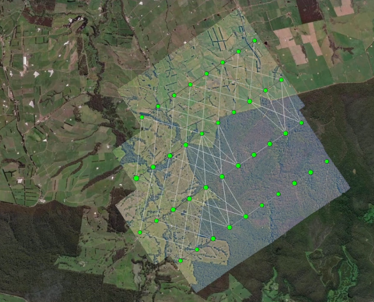
Landair Surveys plans each acquisition around site readiness, weather, smoke and sun angle. Planned burn areas range from approximately 3 to more than 150 square kilometers and are generally captured within four weeks of notification, before regrowth affects the assessment. Four-band imagery is typically collected at a 15 cm ground sample distance with 60% forward overlap and 30% sidelap, reducing data volume and speeding downstream processing.
After radiometric correction and color balancing, Landair Surveys processes the aircraft’s GNSS and IMU data in POSPac and imports the corrected exterior orientation data and imagery into Correlator3D. The software performs aerial triangulation, orthorectification and mosaicing. Existing LiDAR data is used as the elevation reference when available, avoiding unnecessary DSM generation. Quality checks at each stage help resolve issues before they affect final production.
DELIVERABLES
Four-band orthophotography tiles, full RGB, color infrared and near-infrared mosaics.
BENEFITS
Correlator3D helps Landair Surveys turn time-sensitive aerial imagery into accurate orthomosaics within demanding production windows. The streamlined workflow reduces processing time while preserving the quality controls needed to support reliable wildfire prevention and land management decisions.
ABOUT LANDAIR SURVEYS
Landair Surveys is a long-established land and aerial surveying and spatial company headquartered in Melbourne, Australia. Since 1974, the company has combined aerial and terrestrial data capture with evolving technology to support government, environmental, infrastructure, property and construction projects across Australia’s east coast. For more information, visit www.landair.com.au.