 FRANÇAIS
 ESPAÑOL
 PORTUGUÊS
 日本の
日本の 简体中文
简体中文 한국어
한국어CASE STUDY
Wildlife Monitoring in Hawaii with Correlator3D
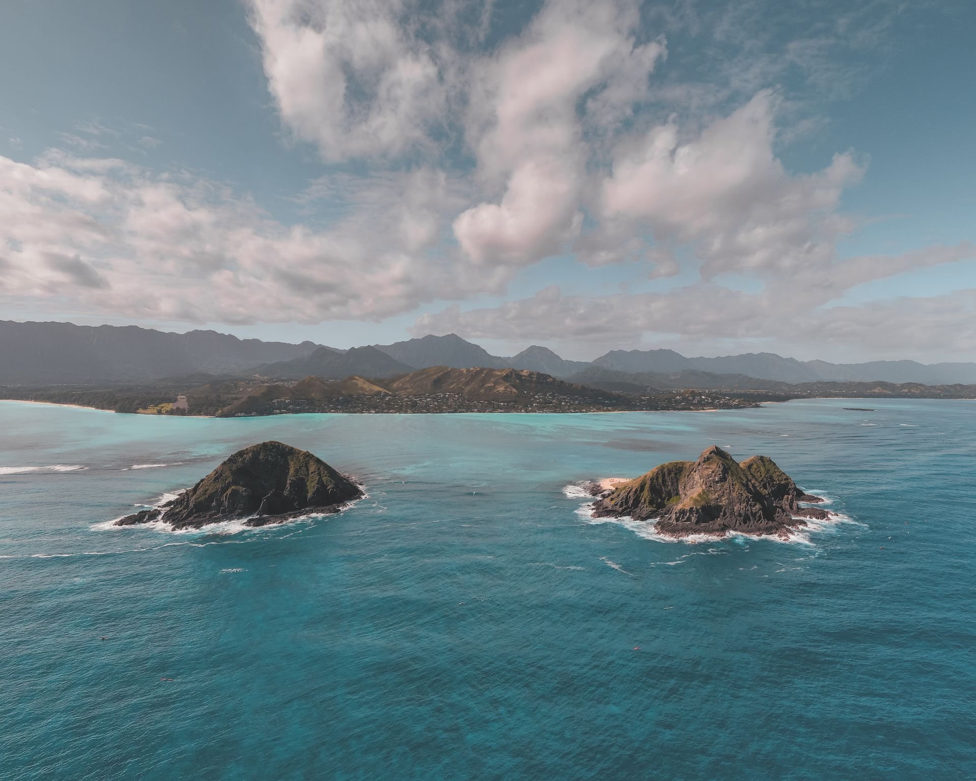
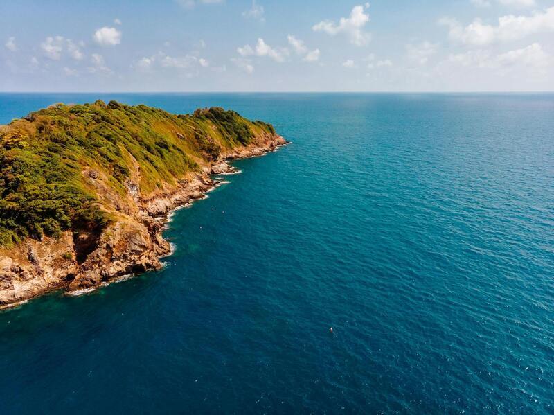
Air Data Solutions (ADS), a full-service aerial mapping firm based in Louisiana, specializes in remote and technically demanding projects. For a U.S. Navy environmental monitoring program, the company surveyed Kaula Island in Hawaii to document protected bird species, monk seals and other native wildlife. The isolated island presented unusual operational challenges. ADS had to coordinate access to restricted airspace, fly hundreds of miles over open ocean and capture detailed imagery without disturbing the bird populations. Correlator3D was used to process the complex dataset and generate accurate information for wildlife monitoring.
INDUSTRY
Environmental Monitoring
COUNTRY
United States
USE CASE
High-resolution aerial mapping for wildlife identification and population monitoring
CHALLENGES
- Reaching an isolated island with no nearby facilities or landing options
- Coordinating a narrow operating window within restricted military airspace
- Maintaining high resolution while flying above the minimum wildlife-protection altitude
- Mapping steep cliffs and preventing birds from being counted more than once
BENEFITS
- Standardized wildlife counts using less intrusive airborne methods
- Detailed imagery supporting bird identification by color, shape and size
- Flexible processing of imagery captured at different altitudes and overlaps
- Accurate geospatial information for monitoring populations over time


“We had confidence that it would all come together in the end because of our prior experience with the Phase One cameras and the Correlator3D software”.
DON CUMMINS
PRESIDENT OF ADS
WORKFLOW
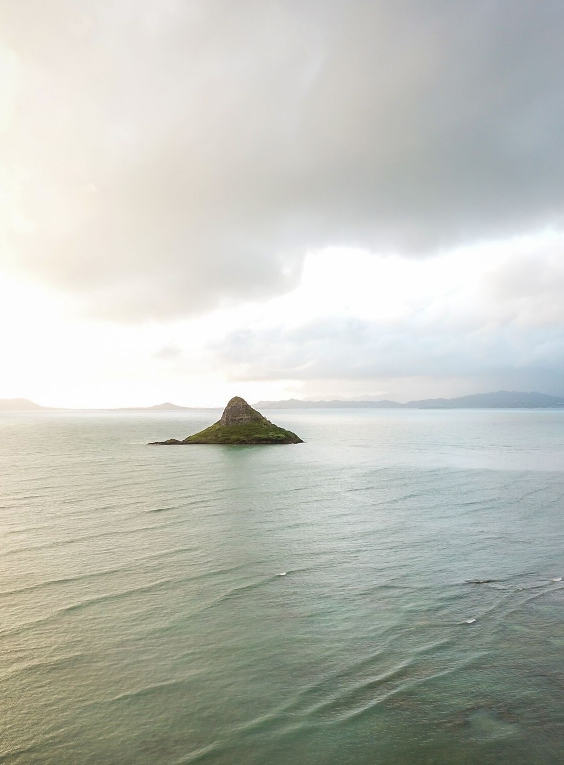
Planning began at least six months before acquisition. Kaula Island is located beyond the main Hawaiian Islands and lies within permanently restricted airspace. ADS coordinated directly with the U.S. Navy, along with the agencies controlling the airspace between Honolulu and the island. Arrival times, departure times, flight altitudes and line directions were planned in detail.
The round-trip mission took approximately four hours. Once the aircraft left Honolulu, there were no places to land, refuel or repair equipment. Any technical problem would require returning to base and potentially losing the scheduled access window. ADS therefore tested its equipment before deployment and carried a redundant camera system.
Imagery was captured using a Phase One PAS 280. The aircraft had to remain above a specified altitude to minimize disturbance to the birds while still achieving a GSD of less than two centimetres. The island’s steep terrain required flight lines at multiple altitudes and in different directions. ADS also collected oblique imagery along the cliff faces using a 100-megapixel Phase One camera.
The acquisition included side overlap of up to 80%. After in-flight and field quality checks, the imagery was returned to the ADS office in Louisiana for local processing. Correlator3D handled the different altitudes, overlaps and flight directions as a unified project.
ADS processed the imagery in several configurations. One model used the complete dataset, while another excluded every second flight line. Comparing the results helped the team identify all visible birds without counting the same individuals twice.
The resulting orthomosaics and elevation models provided more than a simple population count. Each bird could be geographically located and evaluated according to its size, altitude and surrounding terrain. This supported species identification and showed where birds were flying, standing, nesting and congregating.
The counts were completed manually, with machine learning used as a cross-check. Shadows created false positives that made full automation unreliable. The validated results were then transferred to the environmental specialists responsible for analyzing wildlife populations and tracking changes over time.
DELIVERABLES
High-resolution orthomosaics, digital surface and terrain models, 3D terrain visualization, georeferenced wildlife counts and species-location data.
BENEFITS
Correlator3D gave ADS the flexibility to process a complex acquisition as several related datasets and compare different image selections. The airborne workflow produced more standardized results than previous counts conducted from the ground or from boats. It also reduced disturbance to wildlife while providing detailed information on species, locations and population trends.
ABOUT AIR DATA SOLUTIONS
Air Data Solutions (ADS) specializes in airborne data acquisition and geospatial services for environmental, engineering, and government applications. The company operates advanced sensor systems and provides aerial surveying expertise for projects requiring high-accuracy mapping in complex operational environments. For more information, visit www.airdatasolutions.com