March 22, 2016
GeoFIT Americas Adopts SimActive’s Correlator3D™ for UAVs
LEARN MORE
February 17, 2016
Loxley Chooses SimActive for Royal Thai Government Project
LEARN MORE
January 19, 2016
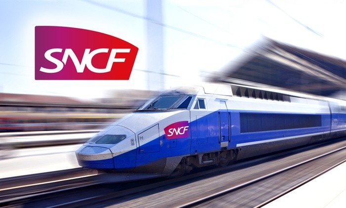
SimActive and Delair-Tech Partner to Provide SNCF with a UAV Solution
LEARN MORE
December 01, 2015
US Environmental Protection Agency Chooses SimActive
LEARN MORE
November 10, 2015
SimActive Strengthens its Enterprise UAV Offering with Version 6.3
LEARN MORE
October 13, 2015
Ordnance Survey Selects SimActive’s Correlator3D™
LEARN MORE
September 22, 2015
AeroVironment Chooses SimActive’s Correlator3D™
LEARN MORE
September 01, 2015
SimActive Announces Correlator3D Version 6.2
LEARN MORE
June 02, 2015
SimActive Provides Integrated LiDAR and Photo Solution to Altoa
LEARN MORE
April 22, 2015
Phase One Industrial and SimActive Announce Integrated Software Solution
LEARN MORE
March 11, 2015
IGN France International Opts for SimActive’s Correlator3D™
LEARN MORE
February 04, 2015
SimActive Launches Version 6.0 with Revolutionary Photogrammetric Workflow
LEARN MORE