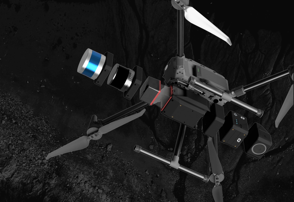
SOFTWARE
CORRELATOR3D SUITE
DISTRIBUTED PROCESSING
SCRIPTING & API
SERVICES
DATA PROCESSING
CUSTOMIZED TRAINING
WORKFLOW OPTIMIZATION
INDUSTRIES
SURVEYING
CONSTRUCTION
AGRICULTURE
MINING
FORESTRY
EMERGENCY RESPONSE
PRICING
COMPANY
ABOUT US
NEWS & BLOG
EVENTS
PARTNER PROGRAM
CAREER
LEARNING
WEBINAR RECORDINGS
TUTORIAL VIDEOS
PODCASTS
REFERENCE DOCUMENTS
KNOWLEDGE BASE
RELEASE NOTES
SUPPORT REQUEST
FREE TRIAL
CONTACT
EN
ESPAÑOL
FRANÇAIS
PORTUGUÊS
日本の
简体中文
한국어
EVERY MAP HAS A
STORY.
Discover how Correlator3D is used globally.
All News
Correlator3D
Mapping
Partnerships
Photogrammetry
Drones
Sensors
Emergency
Agriculture
Defense
Environment
Surveying
Mining
Aircraft
Forestry
Cameras
Drone Mapping
Lidar
Satellites
SimActive Software Enables Processing of Wingtra Drone Data
May 14, 2019
SimActive Expands its Partner Network for Medium Format Camera Solutions
February 12, 2019
First South Korea Government Drone Project Completed with SimActive
September 18, 2018
SimActive and Tianlifa Launch Integrated UAV Solution
March 21, 2017
Airobotics Selects SimActive for its Automated Industrial Drone Solution
August 30, 2016
SimActive and Delair-Tech Partner to Provide SNCF with a UAV Solution
January 19, 2016
Phase One Industrial and SimActive Announce Integrated Software Solution
April 22, 2015
SimActive’s UAV Software Selected by Korean Firm DongWon
February 25, 2014
SimActive Forges Agreement with Space Imaging Middle East
October 08, 2013
SimActive Announces Distribution Agreement with Intrepid Geomatics
February 23, 2012
SimActive Partners with Mirukuru and Announces Sale in Japan
August 17, 2009
1
SUBSCRIBE TO OUR NEWSLETTER TO
LEARN MORE.
JOIN NOW
Subscribe
×