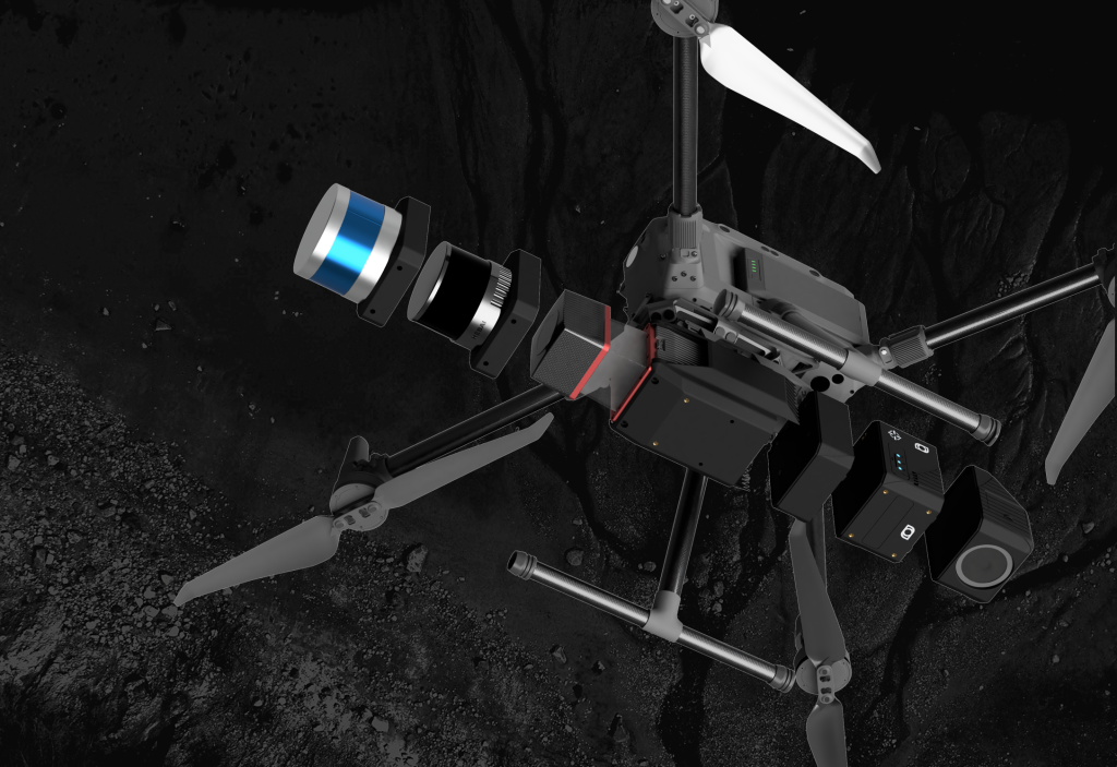
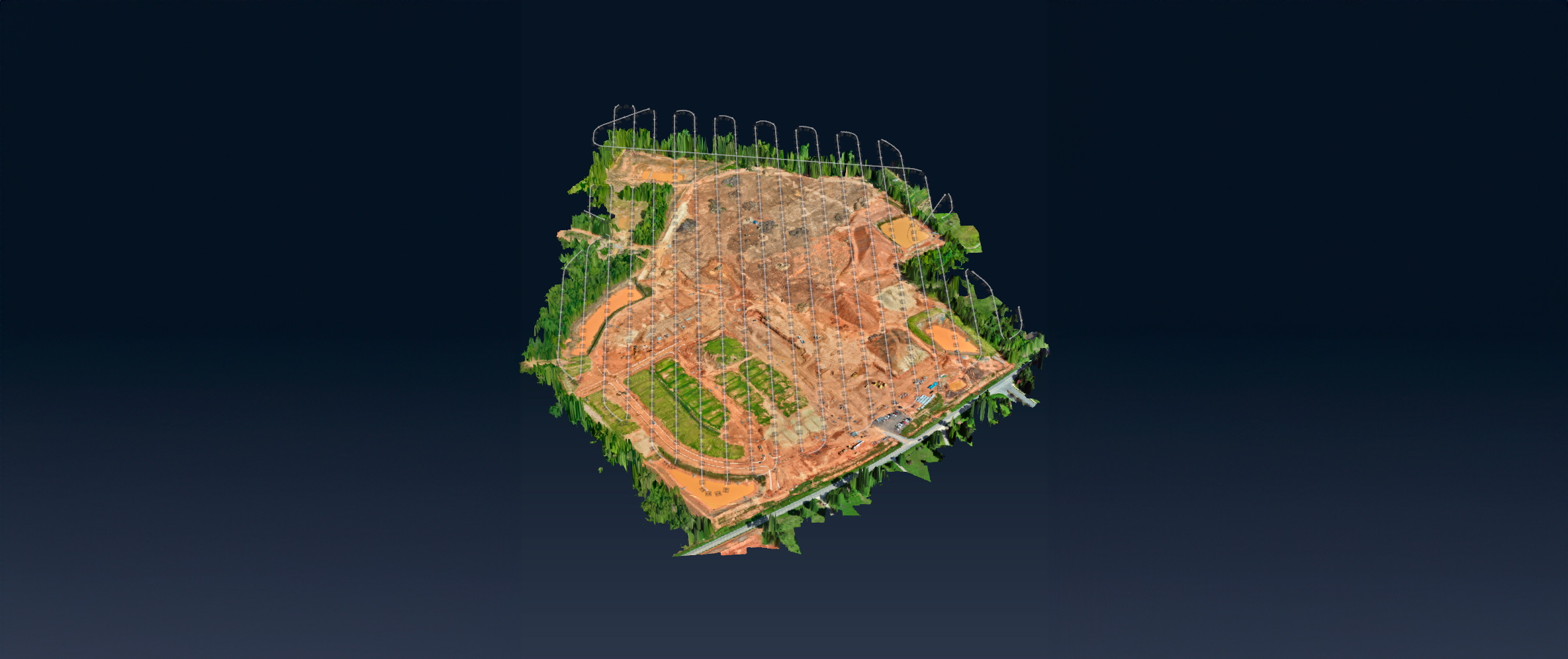
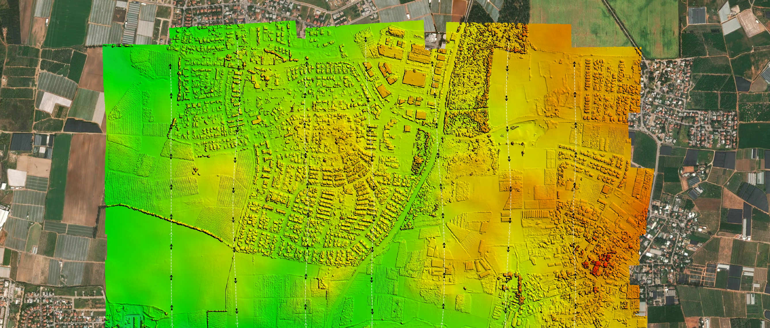
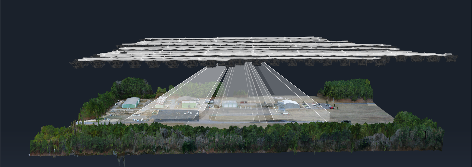
SOFTWARE
CORRELATOR3D SUITE
DISTRIBUTED PROCESSING
SCRIPTING & API
SERVICES
DATA PROCESSING
CUSTOMIZED TRAINING
WORKFLOW OPTIMIZATION
INDUSTRIES
SURVEYING
CONSTRUCTION
AGRICULTURE
MINING
FORESTRY
EMERGENCY RESPONSE
PRICING
COMPANY
ABOUT US
NEWS & BLOG
EVENTS
PARTNER PROGRAM
CAREER
LEARNING
WEBINAR RECORDINGS
TUTORIAL VIDEOS
PODCASTS
REFERENCE DOCUMENTS
KNOWLEDGE BASE
RELEASE NOTES
SUPPORT REQUEST
FREE TRIAL
CONTACT
EN
ESPAÑOL
FRANÇAIS
PORTUGUÊS
日本の
简体中文
한국어
EVERY MAP HAS A
STORY.
Discover how Correlator3D is used globally.
All News
Correlator3D
Mapping
Partnerships
Photogrammetry
Drones
Sensors
Emergency
Agriculture
Defense
Environment
Surveying
Mining
Aircraft
Forestry
Cameras
Drone Mapping
Lidar
Satellites
SimActive Releases Version 9.0 with Distributed Processing
October 05, 2021
SimActive Develops Workflow for New DJI L1 LiDAR System
September 07, 2021
SimActive Software Used with both LiDAR and Imagery to Map Venice Beach, California during the Pandemic
August 03, 2021
Processing of Quantum-Systems Drone Data Integrated in SimActive Software
April 20, 2021
SimActive Increases Drone Productivity with New Tools
March 25, 2021
SimActive Software Integrated in LiDAR Solution for Drones
December 07, 2020
SimActive Develops New Workflow for Faster Processing of Large Projects
October 12, 2020
SimActive Introduces Cloud Sharing and Reflectance Calibration with New Version 8.5
June 09, 2020
SimActive Speeds Up Stockpile Measurement with Drones
March 03, 2020
SimActive Further Accelerates Processing with New Version 8.4
January 13, 2020
SimActive Introduces New LiDAR Workflow
December 02, 2019
SimActive Launches New Drone Processing Service
June 24, 2019
❮
1
2
3
4
5
❯
SUBSCRIBE TO OUR NEWSLETTER TO
LEARN MORE.
JOIN NOW
Subscribe
×