June 26, 2024
Correlator3D is Revolutionizing Military Mapping: An Exclusive Interview with CEO Philippe Simard
LEARN MORE
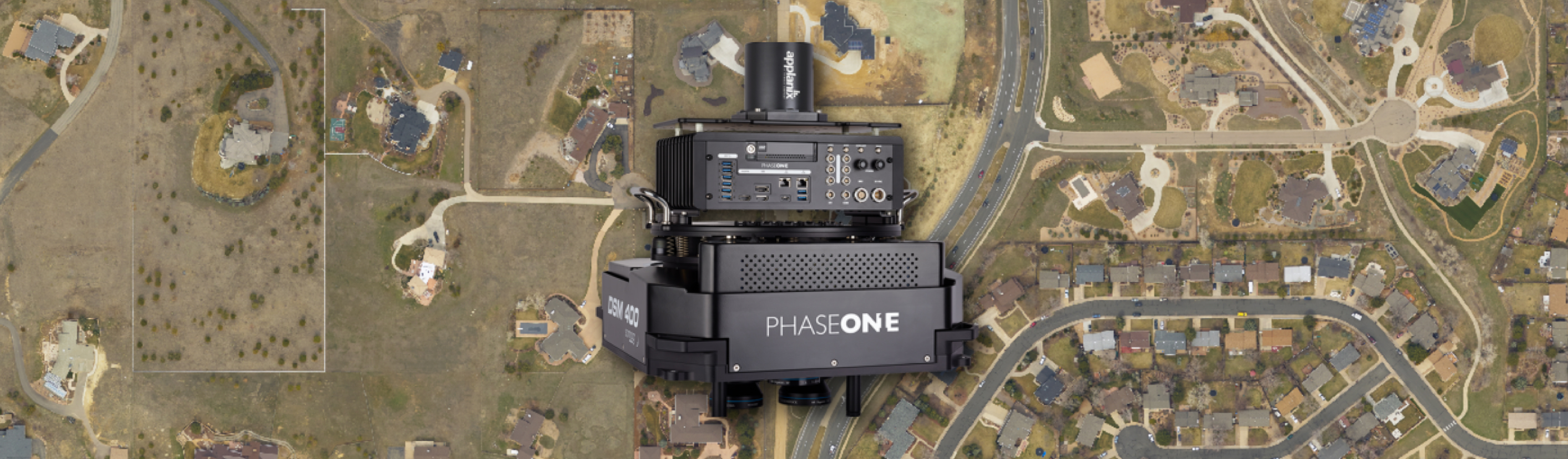
June 10, 2024
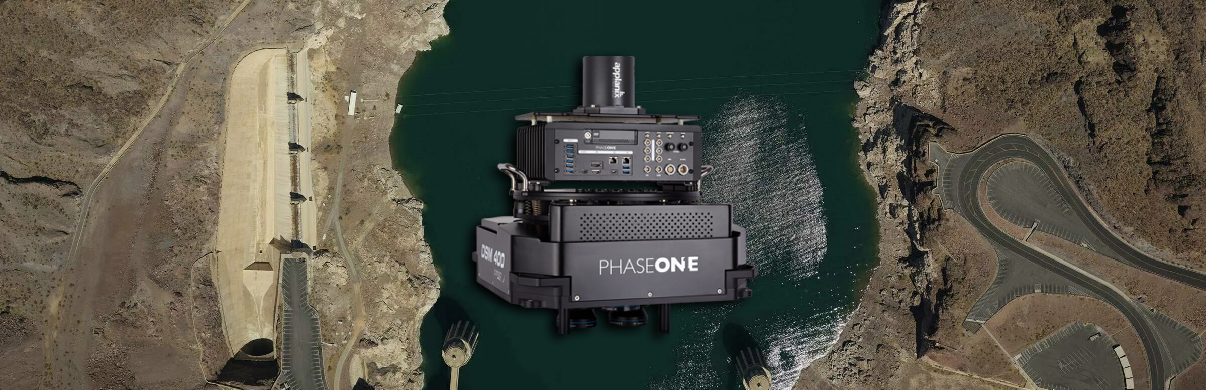
SimActive Implements New Workflow for Phase One 280MP Aerial System
LEARN MORE
May 13, 2024
SimActive Software Used for Mapping the Himalayas
LEARN MORE
April 15, 2024
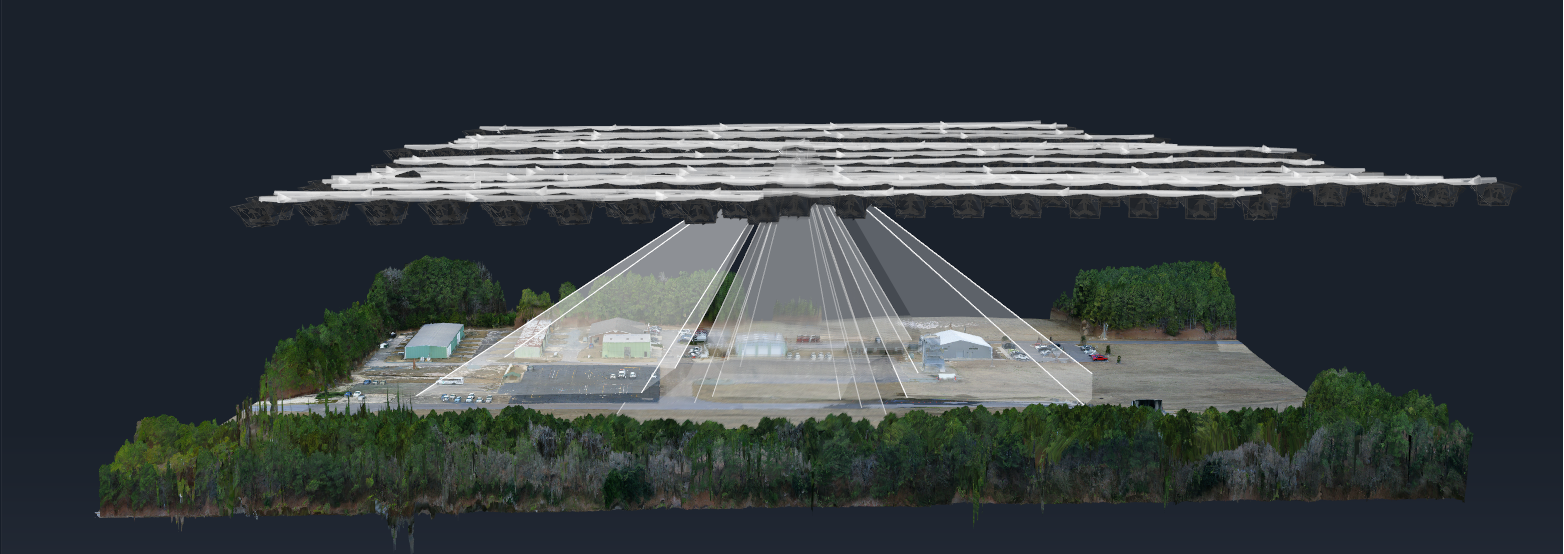
SimActive Integrated with Multi-Camera Systems for Precision Photogrammetry
LEARN MORE
April 10, 2024
SimActive Photogrammetry Software: Enabling Users to Meet Accuracy Standards for Over 20 Years
LEARN MORE
March 18, 2024
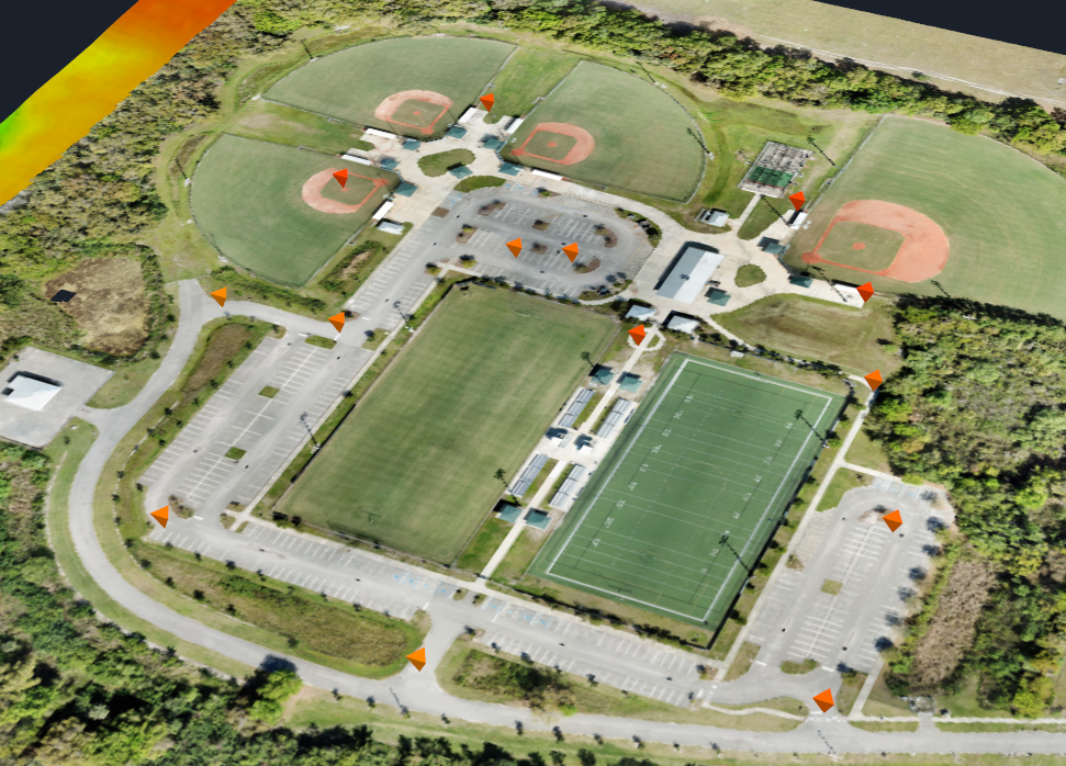
SimActive Used to Control Accuracy Through Different Types of GCPs
LEARN MORE
February 19, 2024
SimActive Used for 3D Mapping From Oblique Cameras
LEARN MORE
January 22, 2024
SimActive Announces Enhanced Cloud Capabilities
LEARN MORE
November 13, 2023
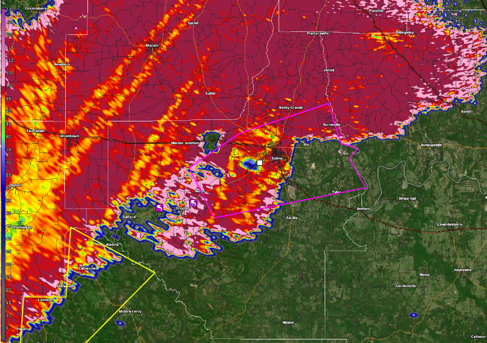
ALDOT Uses SimActive Software to Support Tornado Recovery
LEARN MORE
October 16, 2023
SimActive Accelerates Point Cloud Generation with Version 10.1
LEARN MORE
September 11, 2023
Microsoft Collaborates with SimActive on a Cloud Photogrammetry Solution
LEARN MORE
August 14, 2023
SimActive Used with Phase One Cameras for Precise Photogrammetry
LEARN MORE