October 22, 2025
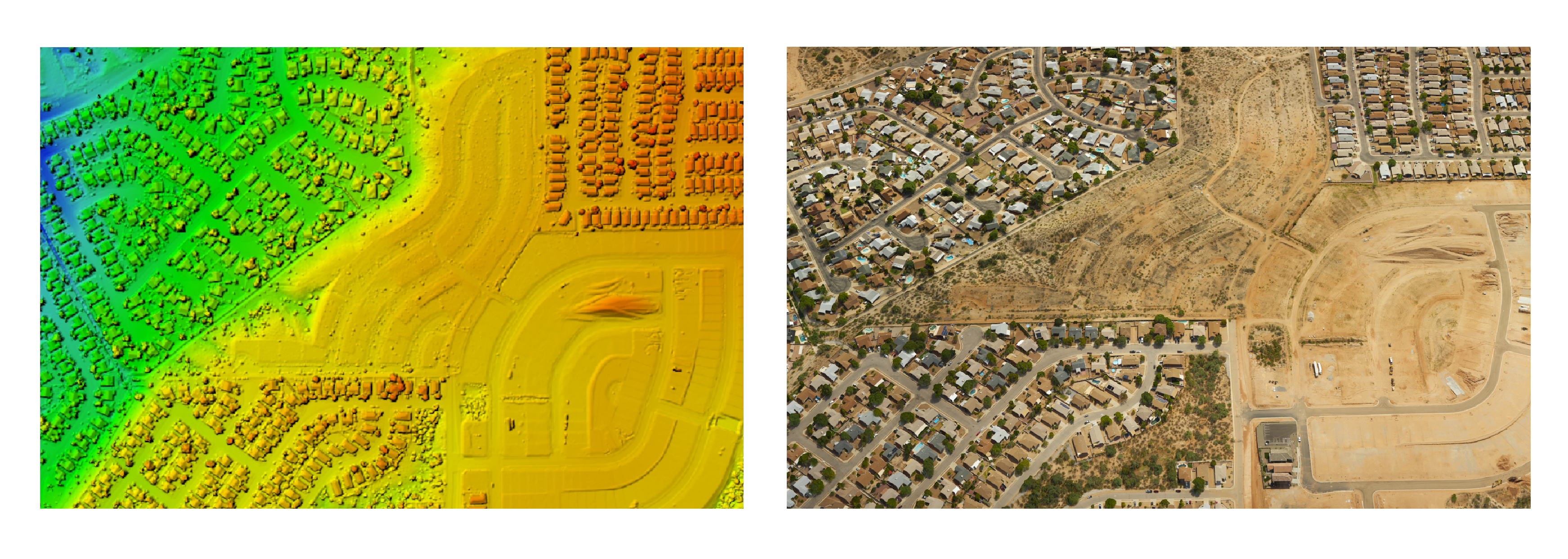
Managing Large Photogrammetry Projects Simultaneously: Can It Be Done?
LEARN MORE
October 03, 2025
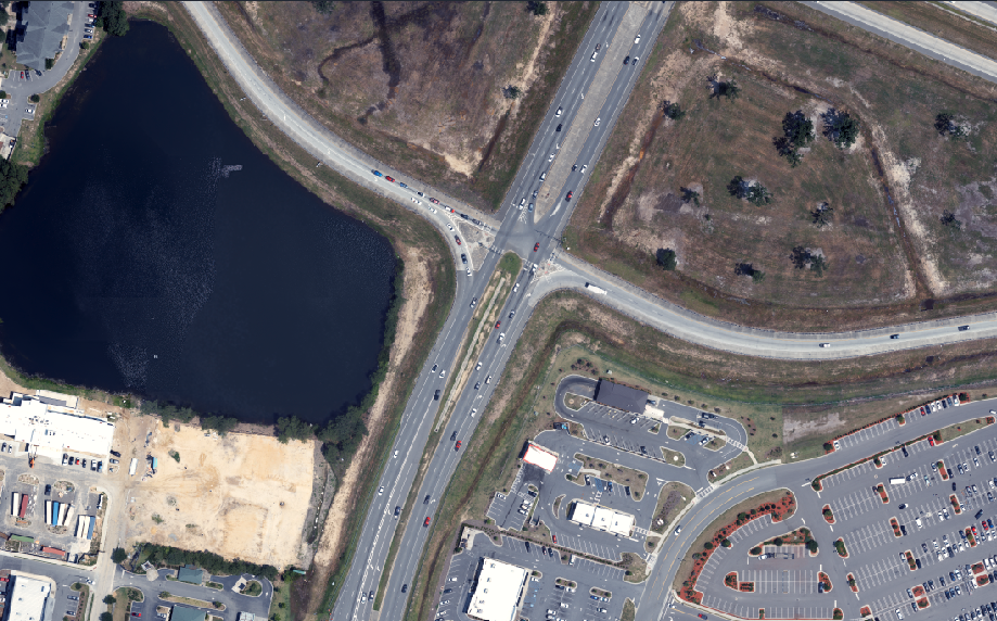
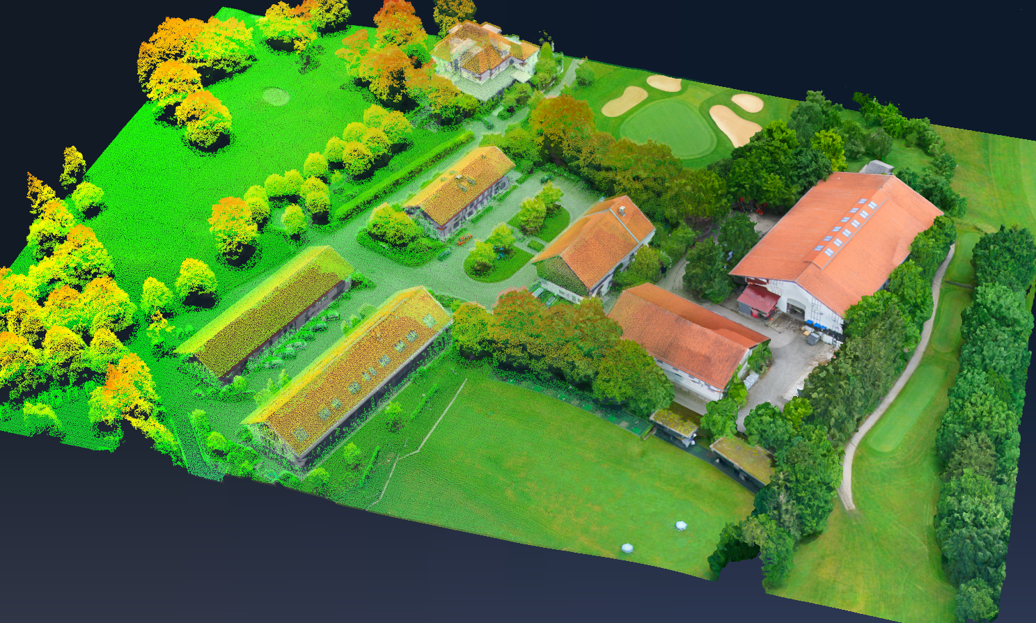
SimActive Supports Highway Ramp Expansion with Integrated Lidar and Photogrammetry
LEARN MORE
September 08, 2025
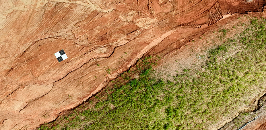
SimActive Enables 3D Calculations from Drone Imagery at Mining Sites
LEARN MORE
August 11, 2025
SimActive Used to Process Large Photogrammetry Projects in Parallel
LEARN MORE
July 07, 2025
SimActive Software Used to Quickly Process Large Datasets
LEARN MORE
June 25, 2025
Photogrammetry vs. LiDAR: Choosing the Right Tool for the Job
LEARN MORE
June 09, 2025
SimActive Used to Leverage High-Precision Positioning Systems
LEARN MORE
May 12, 2025
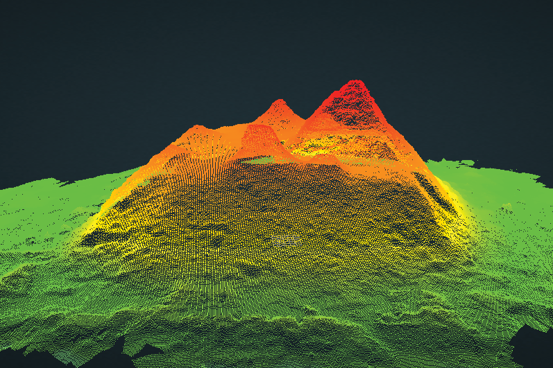
SimActive Used for the Fusion of Lidar and Photogrammetry
LEARN MORE
April 14, 2025
SimActive Releases Correlator3D Version 10.4 with Powerful New 3D Modeling Capabilities
LEARN MORE
April 03, 2025
LidarMag Interviews SimActive's CEO, Dr Philippe Simard
LEARN MORE
March 17, 2025
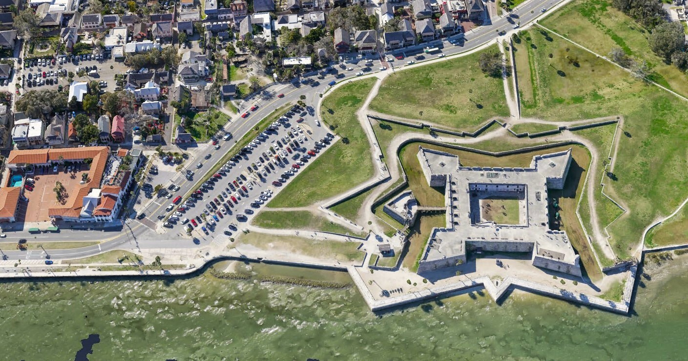
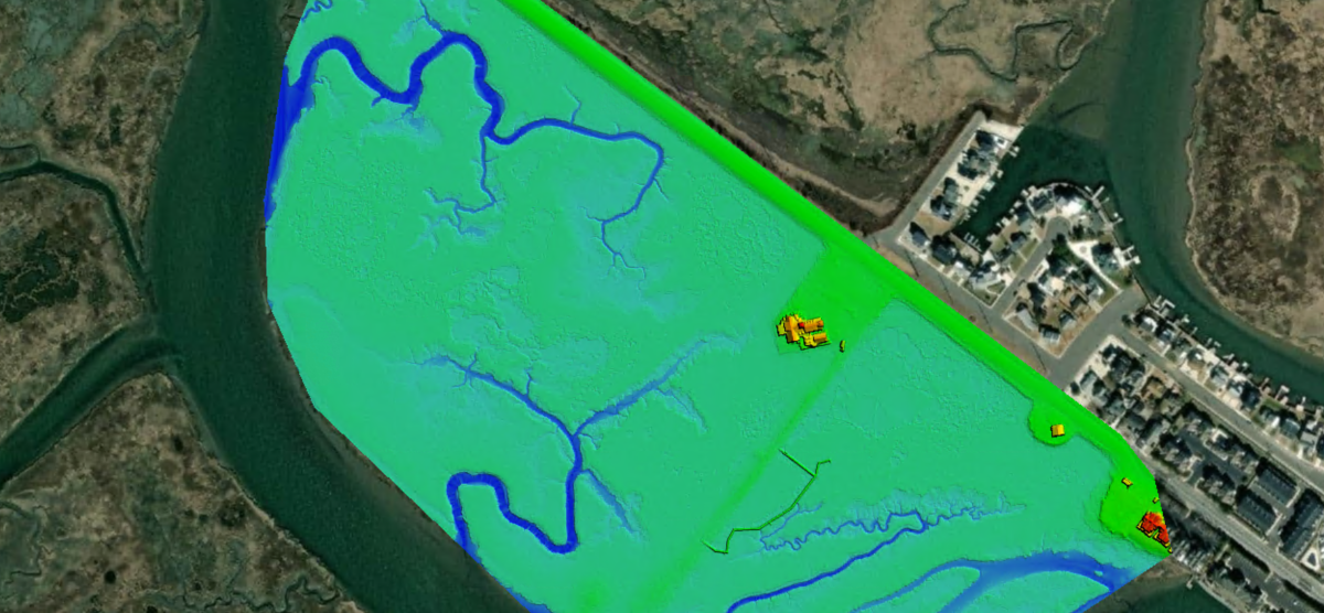
SimActive Used for Corridor Mapping Along Coasts
LEARN MORE
March 11, 2025
Enhancing Drone Mapping with RTK and PPK
LEARN MORE