March 11, 2025
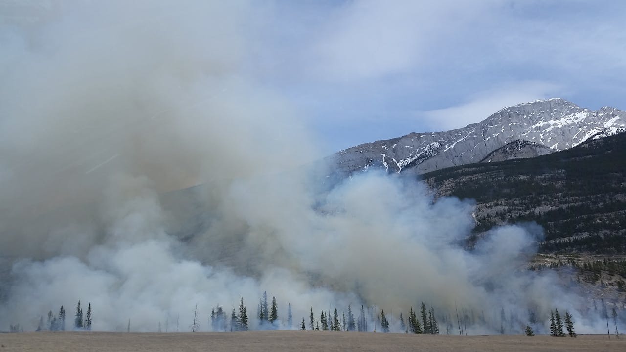
Preventing Wild Bushfires By Mapping Planned Burns
LEARN MORE
February 17, 2025
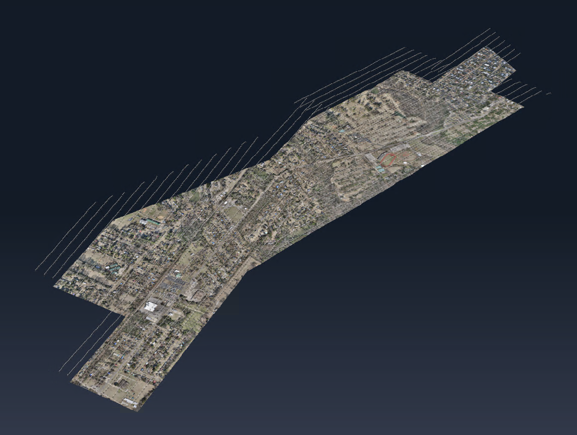
SimActive Used to Map Large Oil & Gas Operation
LEARN MORE
January 20, 2025
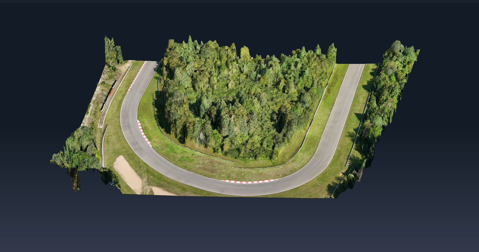
SimActive Releases Correlator3D Version 10.3 Optimized for Large Projects
LEARN MORE
December 13, 2024
Upcoming Mapping Trends for 2025
LEARN MORE
December 05, 2024
Mastering Drone Mapping: Expert Tips for Success
LEARN MORE
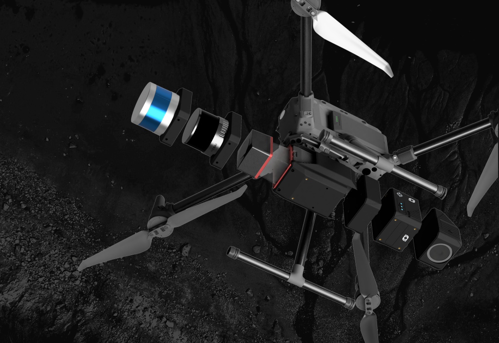
December 02, 2024
SimActive Software Integrated by Balko Tech in Modular Lidar Systems
LEARN MORE
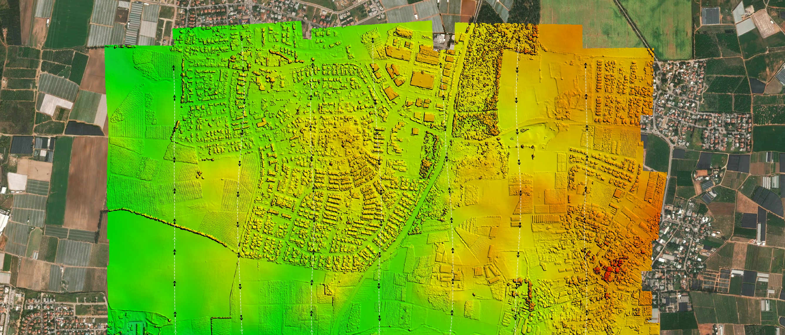
November 04, 2024
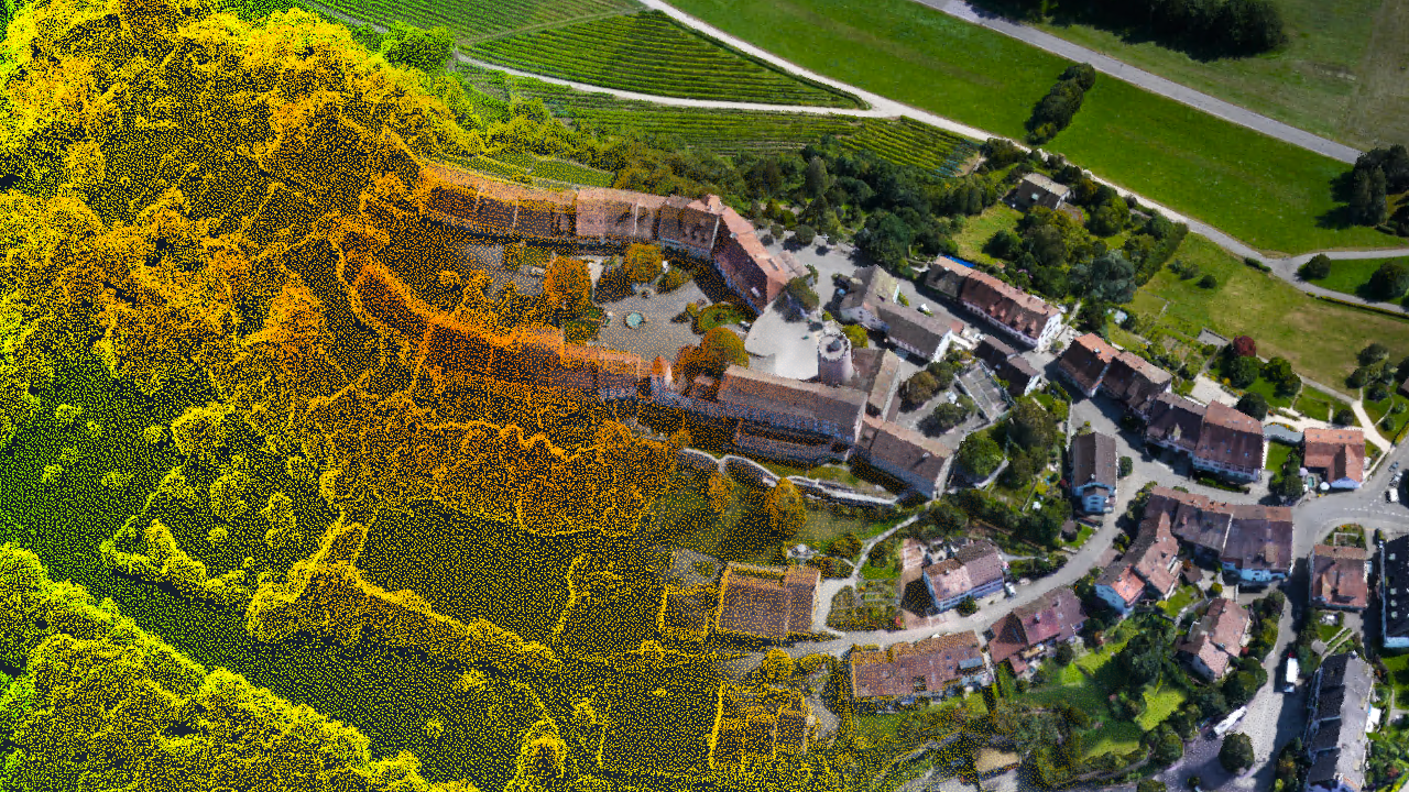
Vegetation Assessment Along Waterbodies Completed with SimActive
LEARN MORE
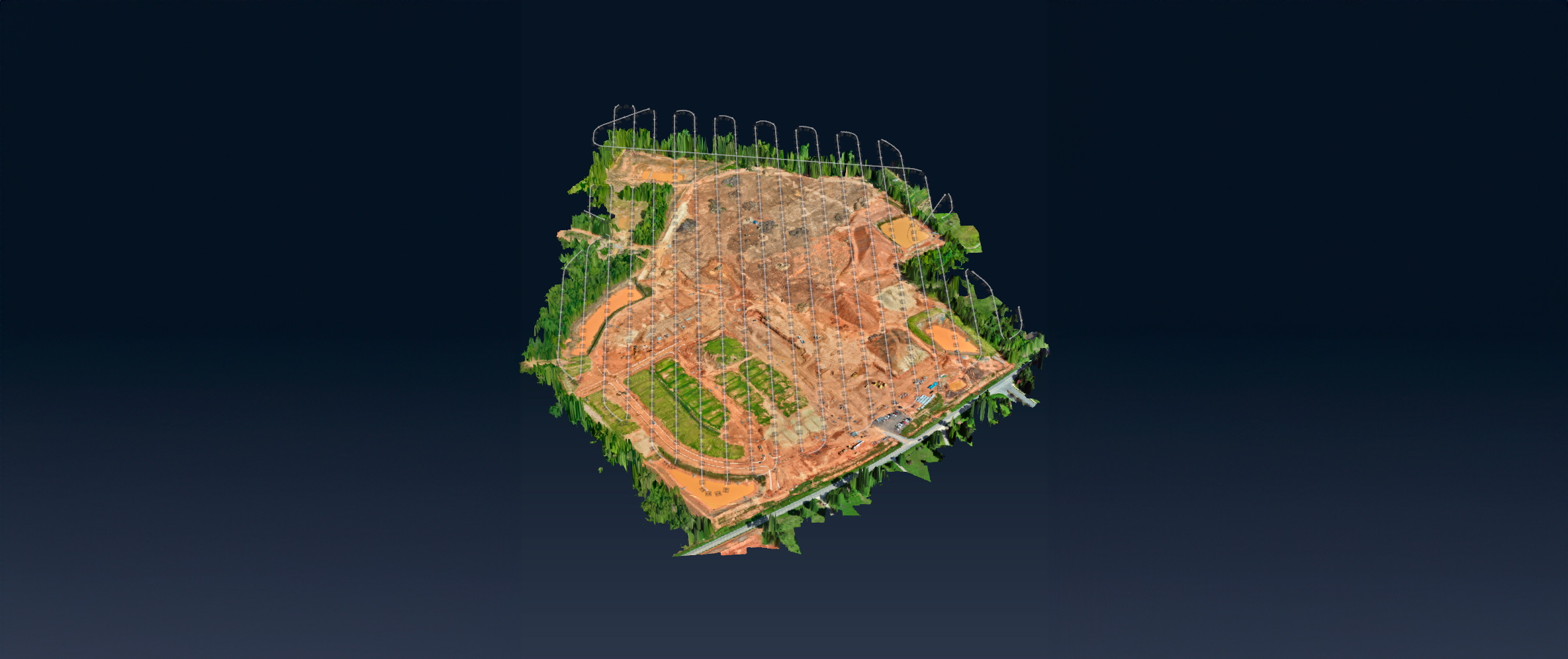
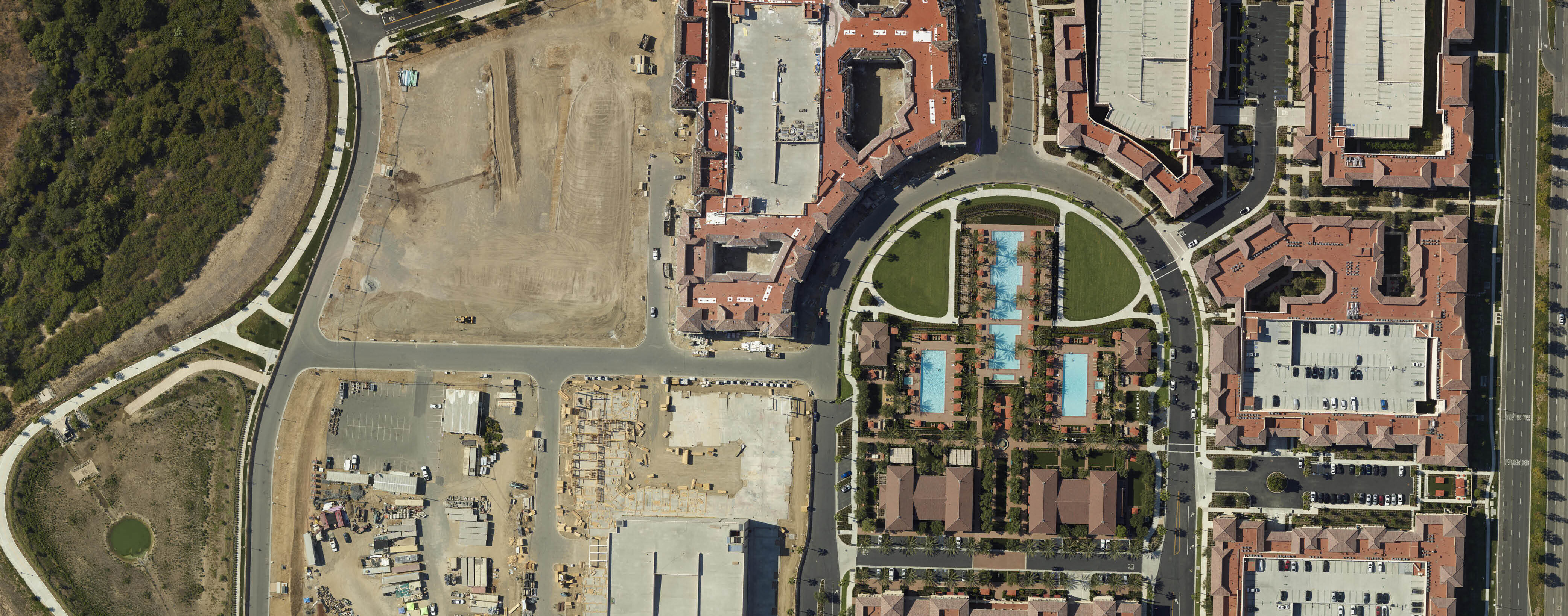
October 07, 2024
SimActive Used for Mapping Construction Projects
LEARN MORE
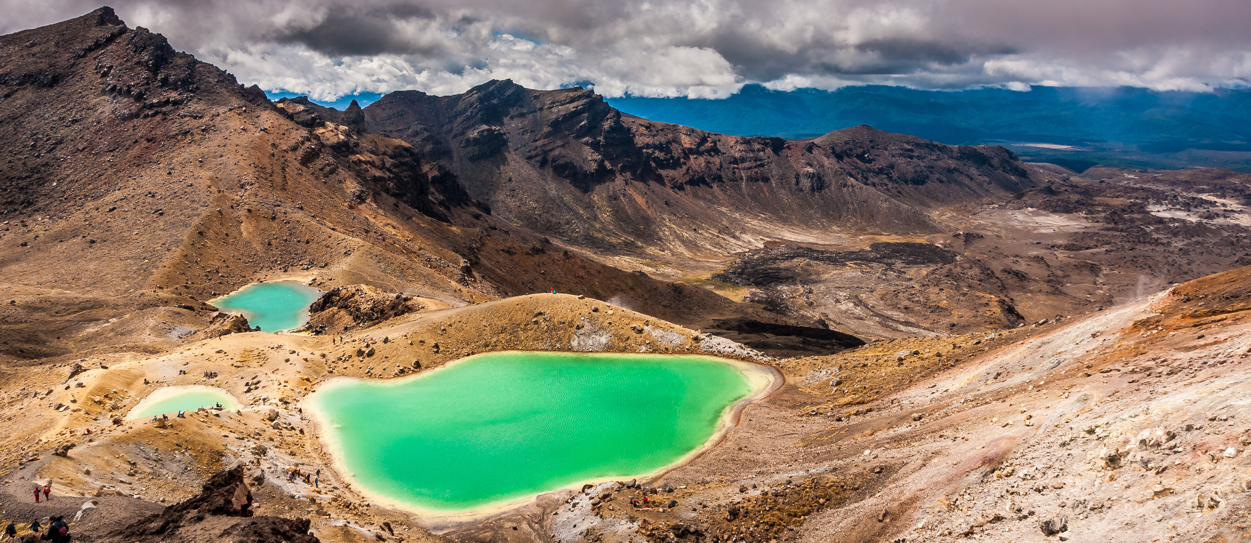
September 10, 2024
SimActive Used for Mapping in New Zealand
LEARN MORE
August 13, 2024
SimActive Releases Correlator3D Version 10.2 With Enhanced Editing Tools
LEARN MORE
July 30, 2024
Cloud Computing Continues to Boost Photogrammetry Services
LEARN MORE
July 08, 2024
3 Tips to Manage Peak Processing Season
LEARN MORE