October 05, 2021
SimActive Releases Version 9.0 with Distributed Processing
LEARN MORE
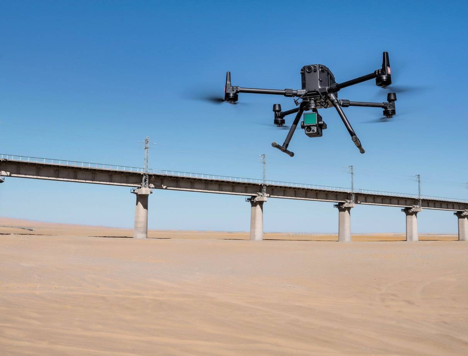
September 07, 2021
SimActive Develops Workflow for New DJI L1 LiDAR System
LEARN MORE
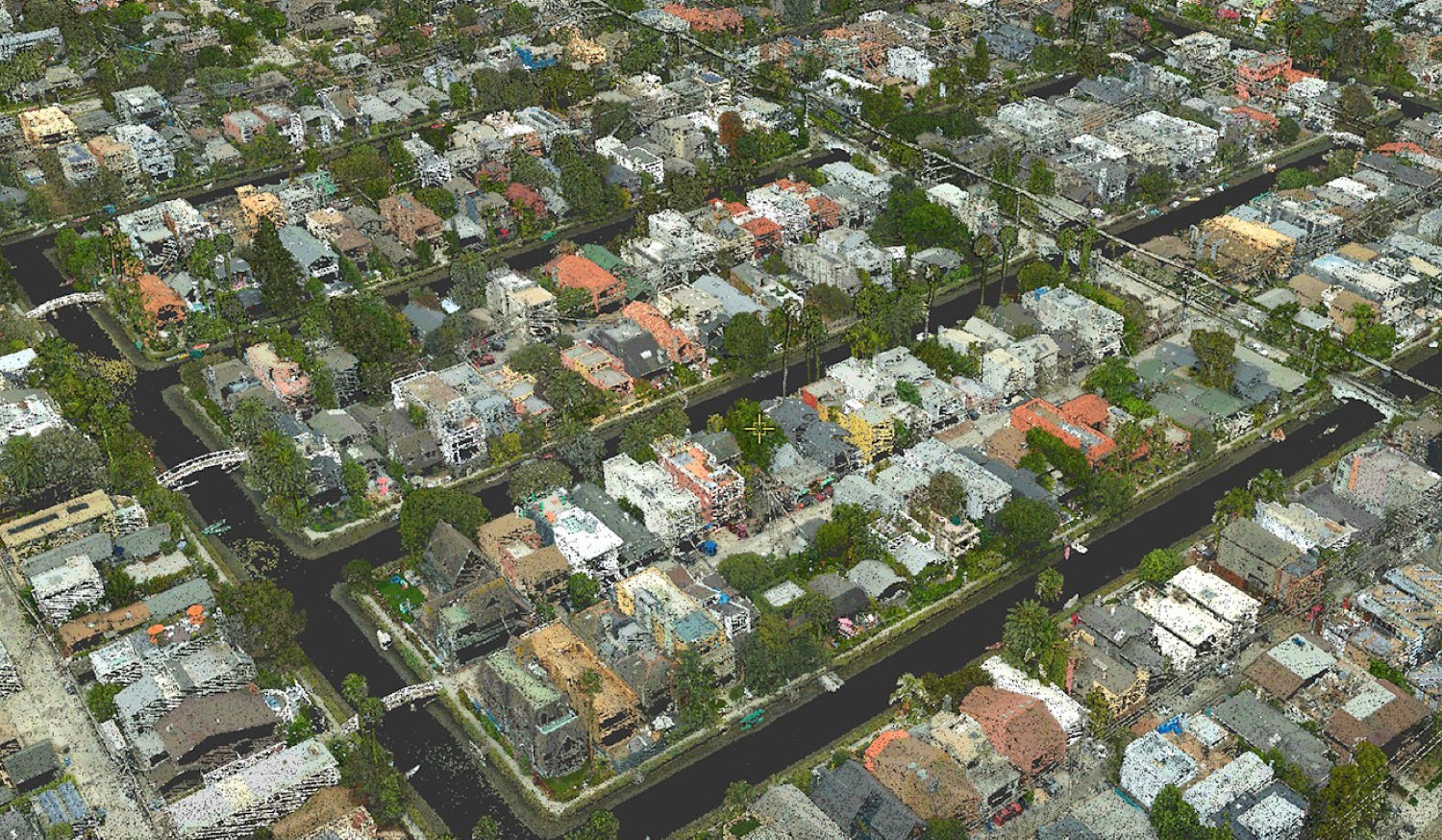
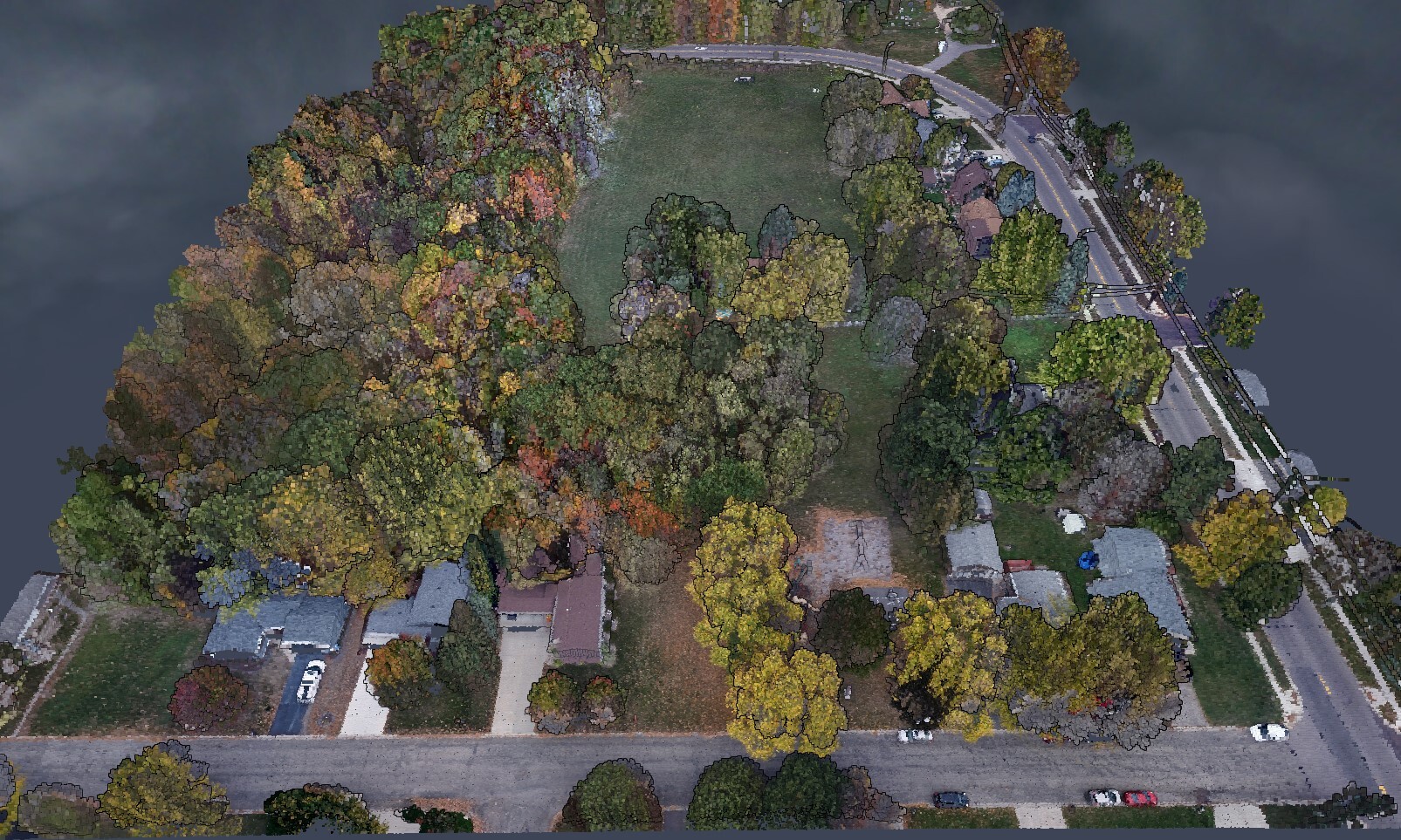
August 03, 2021
SimActive Software Used with both LiDAR and Imagery to Map Venice Beach, California during the Pandemic
LEARN MORE
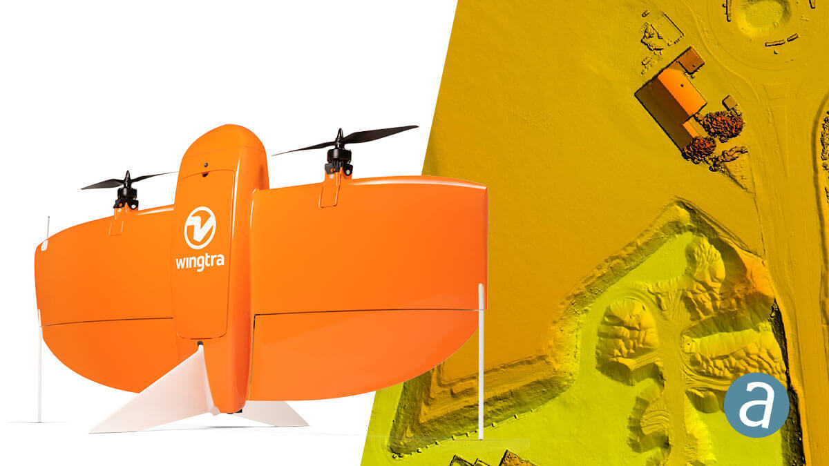
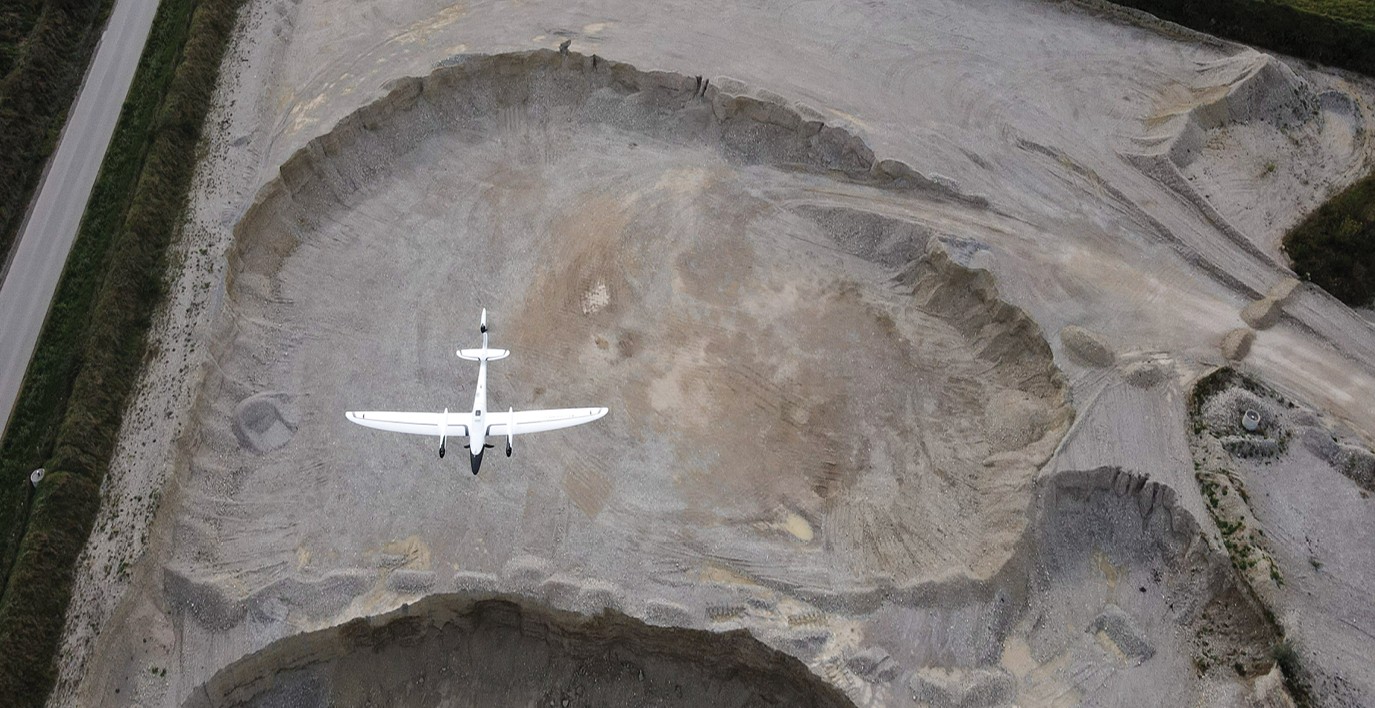
June 23, 2021
Which Drones Are Best For Mapping?
LEARN MORE
May 25, 2021
SimActive Software Used for Agricultural Resource Monitoring
LEARN MORE
April 20, 2021
Processing of Quantum-Systems Drone Data Integrated in SimActive Software
LEARN MORE
April 06, 2021
How to apply a GEOID offset
LEARN MORE
March 25, 2021
SimActive Increases Drone Productivity with New Tools
LEARN MORE
February 22, 2021
SimActive Software Used with Drones for Monitoring Construction in Texas
LEARN MORE
January 28, 2021
How to Merge LiDAR with Imagery
LEARN MORE
January 25, 2021
SimActive Software Used with AI to Determine Land Use
LEARN MORE
January 15, 2021
How to Choose a Drone Mapping Software
LEARN MORE