November 16, 2022
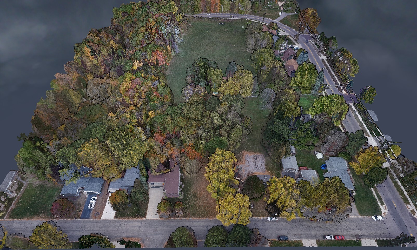
The Foundation of GIS: 3 Factors for Base Data Accuracy
LEARN MORE
August 26, 2022
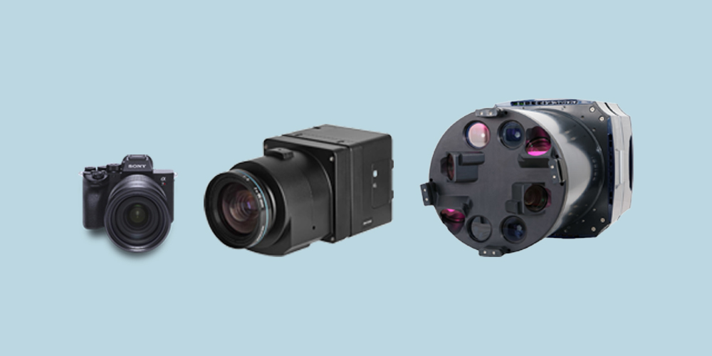
3 Factors to Consider When Choosing a Camera for Photogrammetry
LEARN MORE
July 07, 2022
There's more to accuracy than just an RTK/PPK enabled drone
LEARN MORE
May 24, 2022
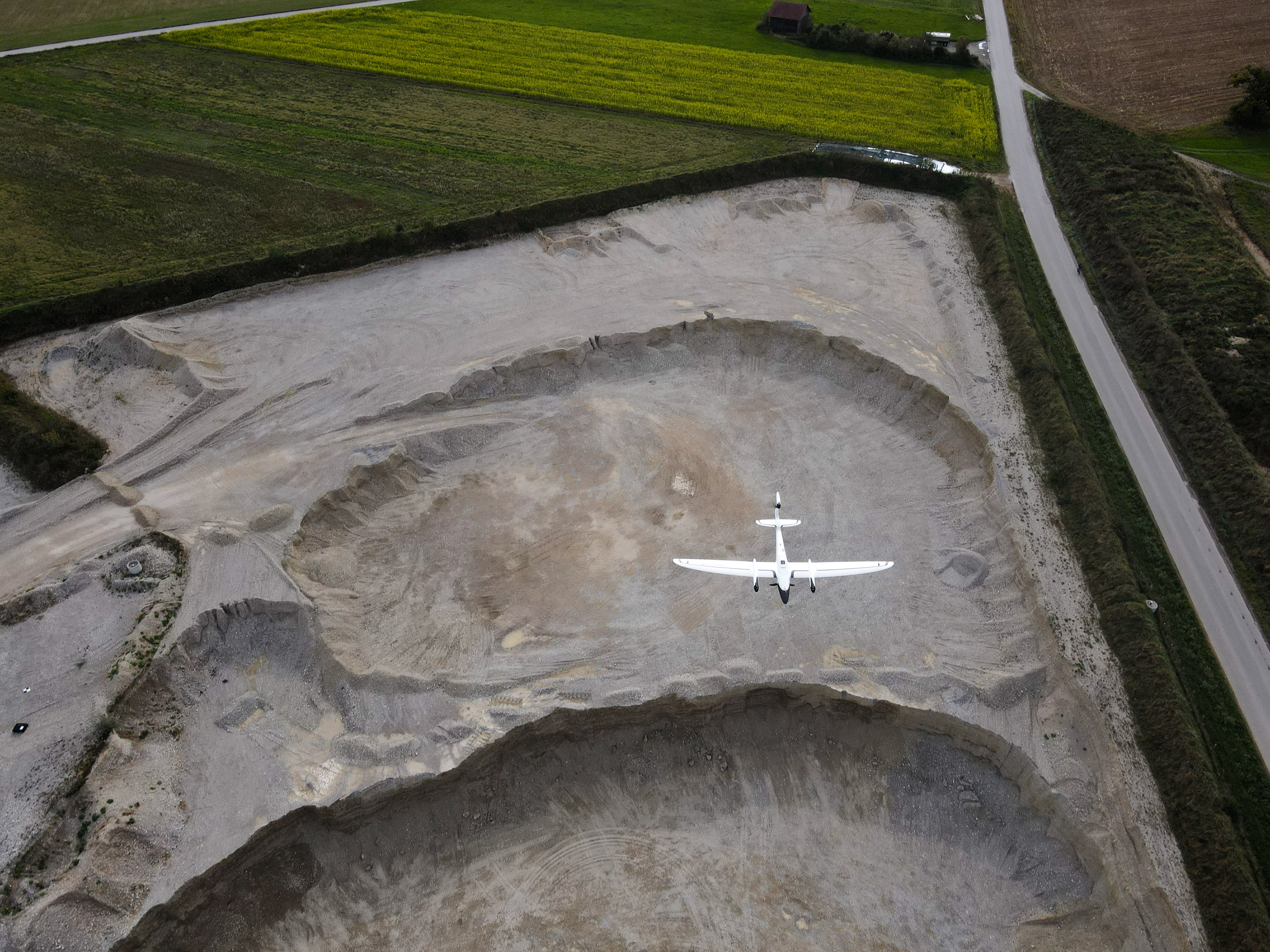
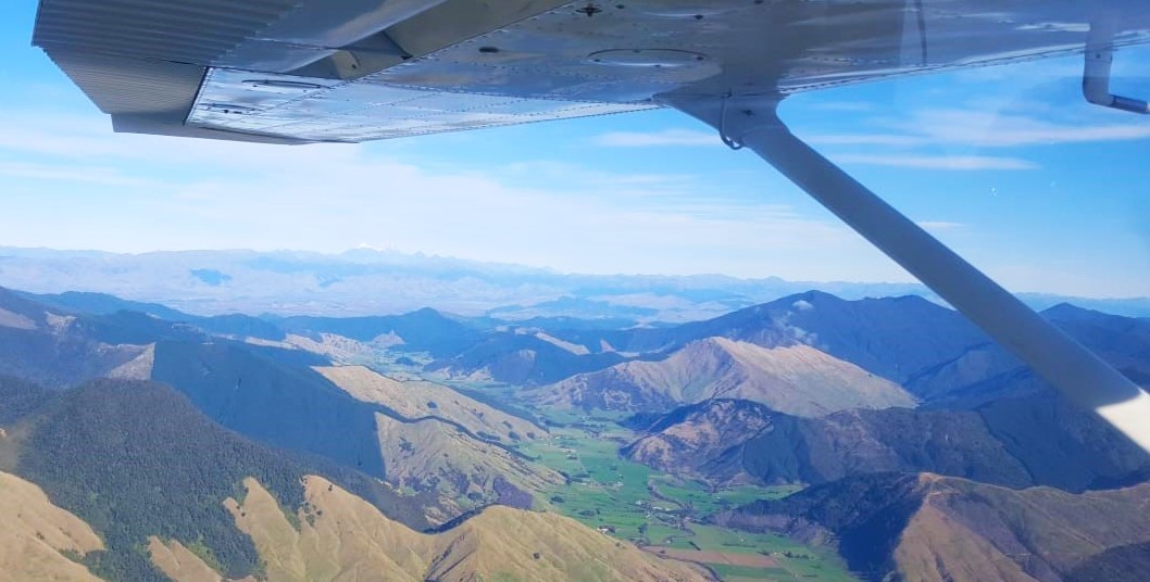
Drone vs Aircraft: Which One is Right for your Mapping Project?
LEARN MORE
May 10, 2022
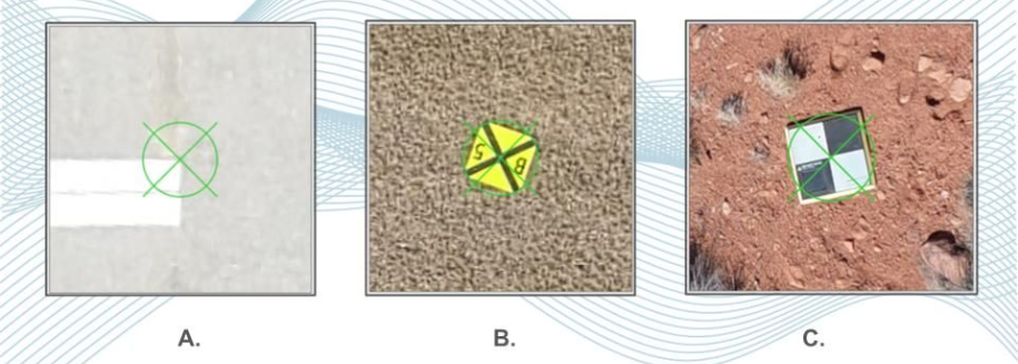
3 Tips to Better Ground Control Points for Photogrammetry Projects
LEARN MORE
December 06, 2021
Extreme Aerial Monitoring One of the Largest Construction Projects in the Desert Southwest with SimActive Software
LEARN MORE
June 23, 2021
Which Drones Are Best For Mapping?
LEARN MORE
February 22, 2021
SimActive Software Used with Drones for Monitoring Construction in Texas
LEARN MORE
January 28, 2021
How to Merge LiDAR with Imagery
LEARN MORE
January 25, 2021
SimActive Software Used with AI to Determine Land Use
LEARN MORE
January 15, 2021
How to Choose a Drone Mapping Software
LEARN MORE
September 04, 2020
Global Trends in the Mapping Industry during the Pandemic
LEARN MORE