September 30, 2022
SimActive Software Used for Sensor Calibration and Validation
LEARN MORE
August 26, 2022
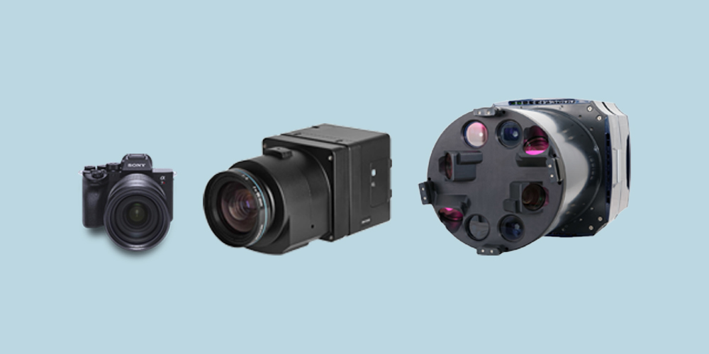
3 Factors to Consider When Choosing a Camera for Photogrammetry
LEARN MORE
July 07, 2022
There's more to accuracy than just an RTK/PPK enabled drone
LEARN MORE
June 21, 2022
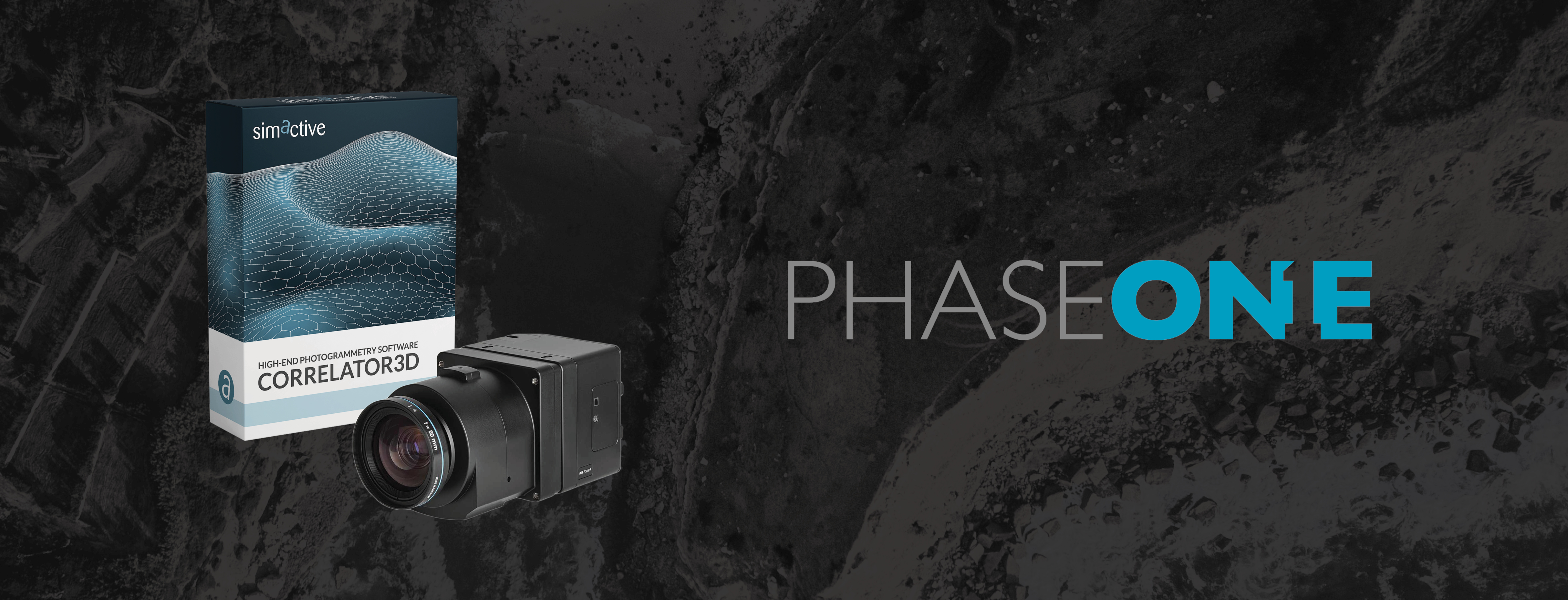
SimActive Releases Correlator3D Version 9.2 with Phase One IIQ Integration
LEARN MORE
May 24, 2022
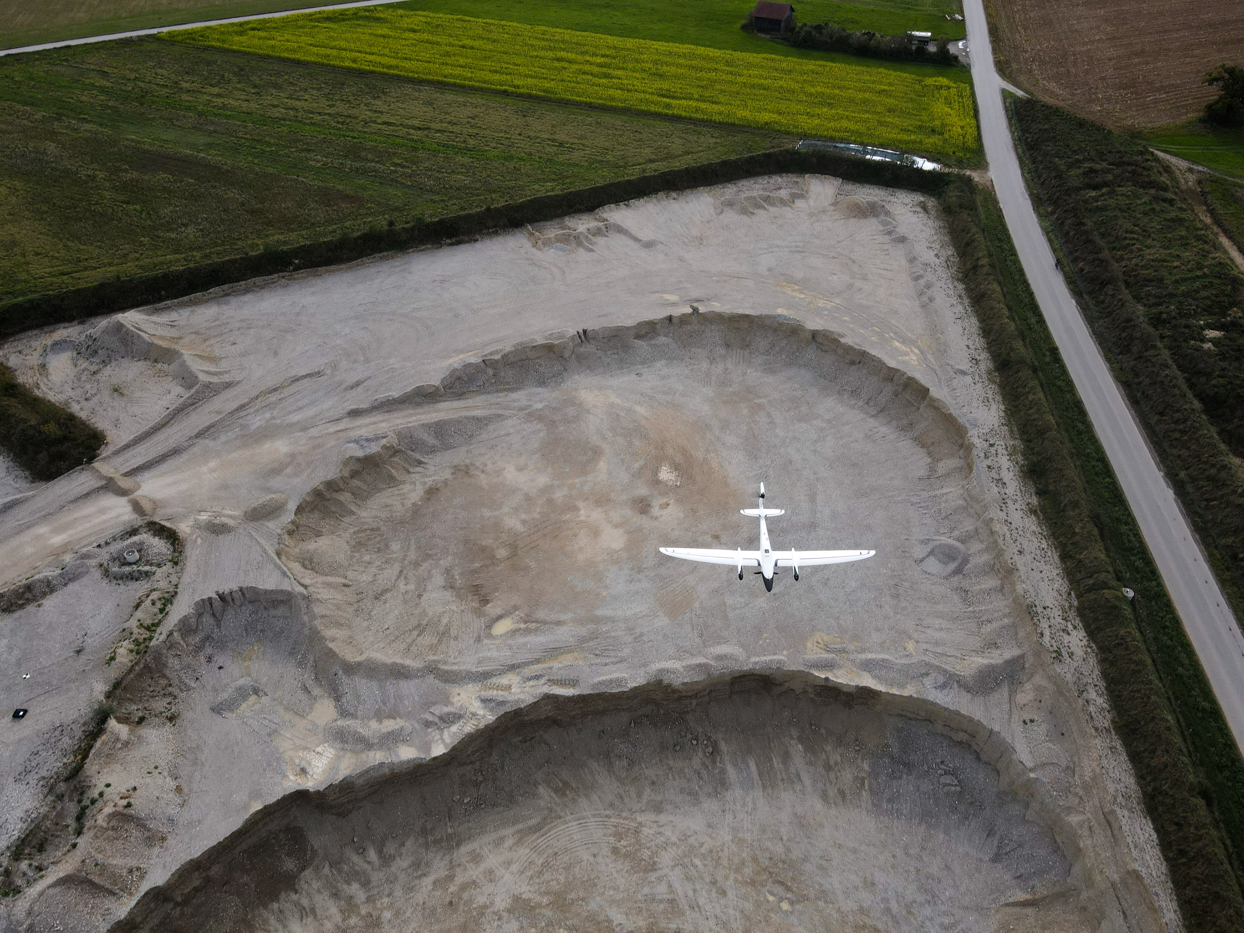
Drone vs Aircraft: Which One is Right for your Mapping Project?
LEARN MORE
May 10, 2022
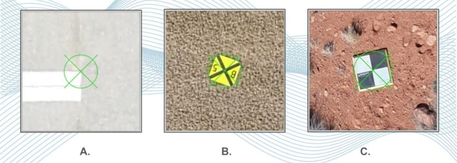
3 Tips to Better Ground Control Points for Photogrammetry Projects
LEARN MORE
April 26, 2022
Medium Format Cameras Used with SimActive Software to Minimize Mapping Costs
LEARN MORE
March 29, 2022
SimActive Releases Correlator3D Version 9.1 with Productivity Enhancements
LEARN MORE
March 01, 2022
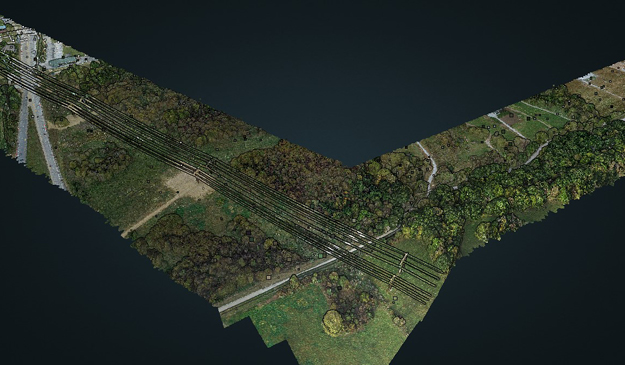
SurvTech Using SimActive Software for Energy Infrastructure Projects
LEARN MORE
January 24, 2022
ISG Using Lidar to Support Photogrammetric Projects with SimActive Software
LEARN MORE
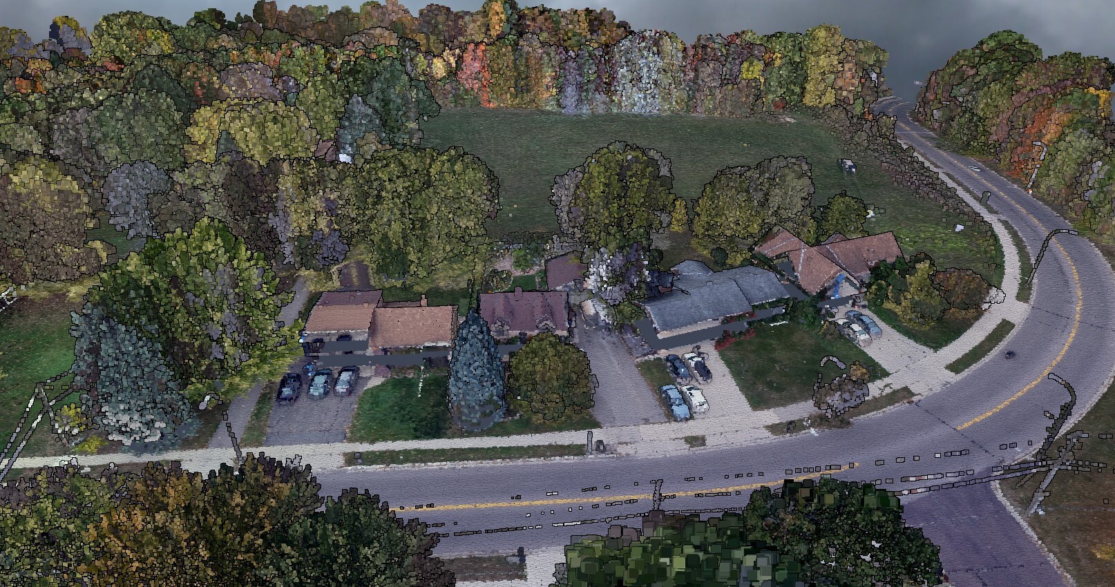
December 06, 2021
Extreme Aerial Monitoring One of the Largest Construction Projects in the Desert Southwest with SimActive Software
LEARN MORE
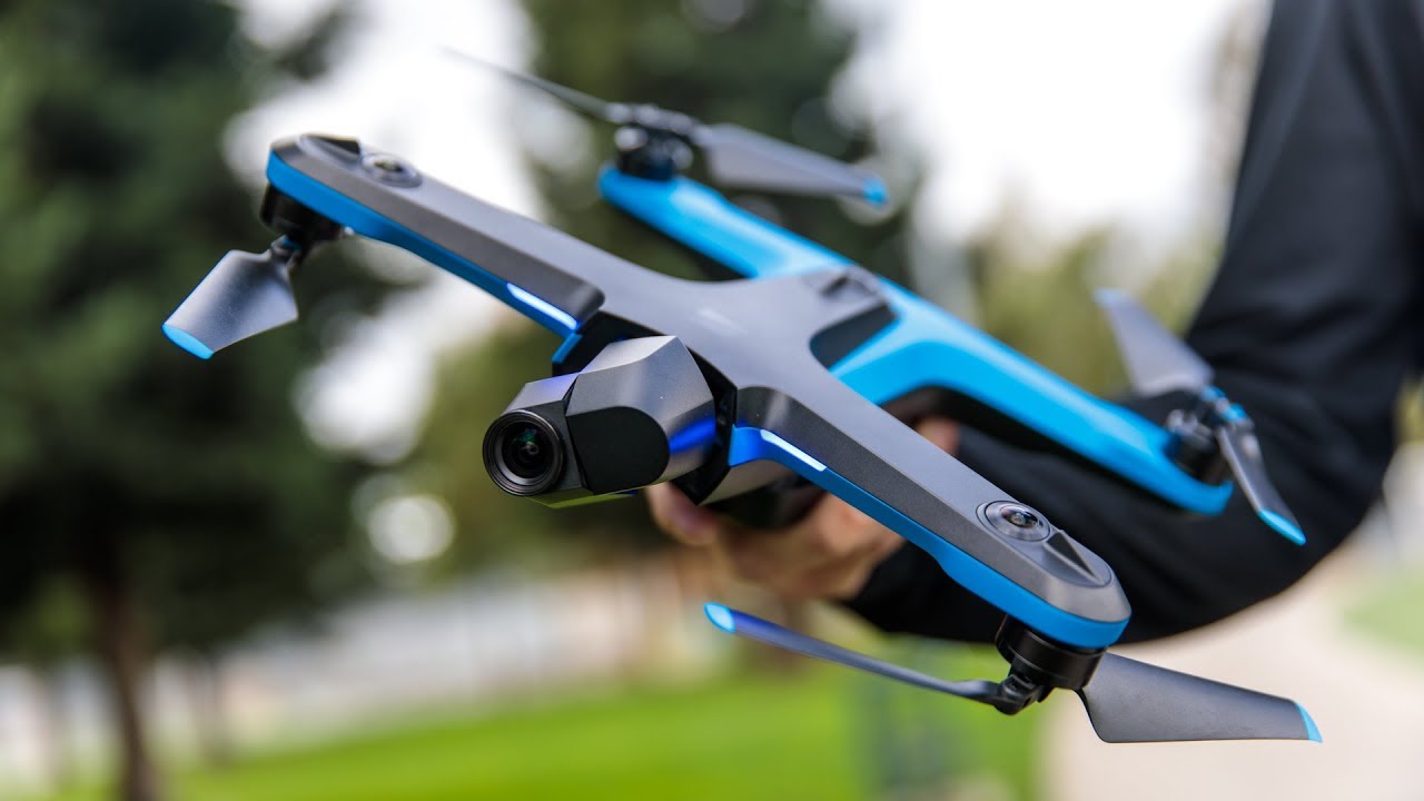
November 09, 2021
SimActive Software Used with Skydio Drones for Land Development Projects
LEARN MORE