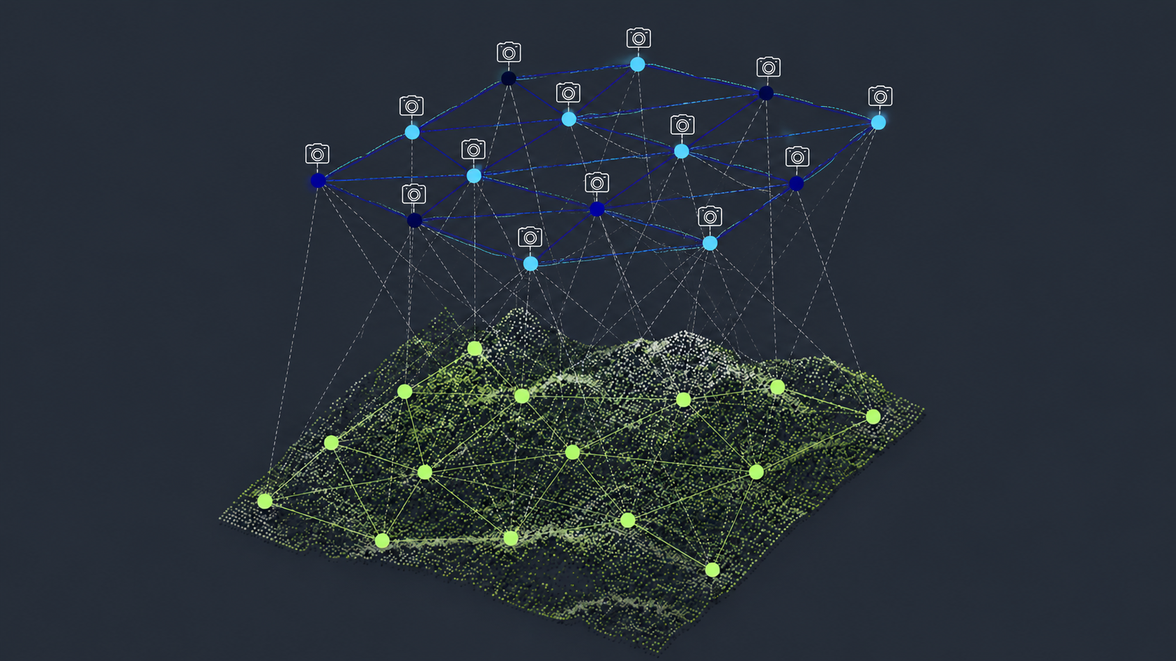
July 06, 2026
SimActive Unveils Revamped Aerial Triangulation in Correlator3D Version 11.1
LEARN MORE
June 08, 2026
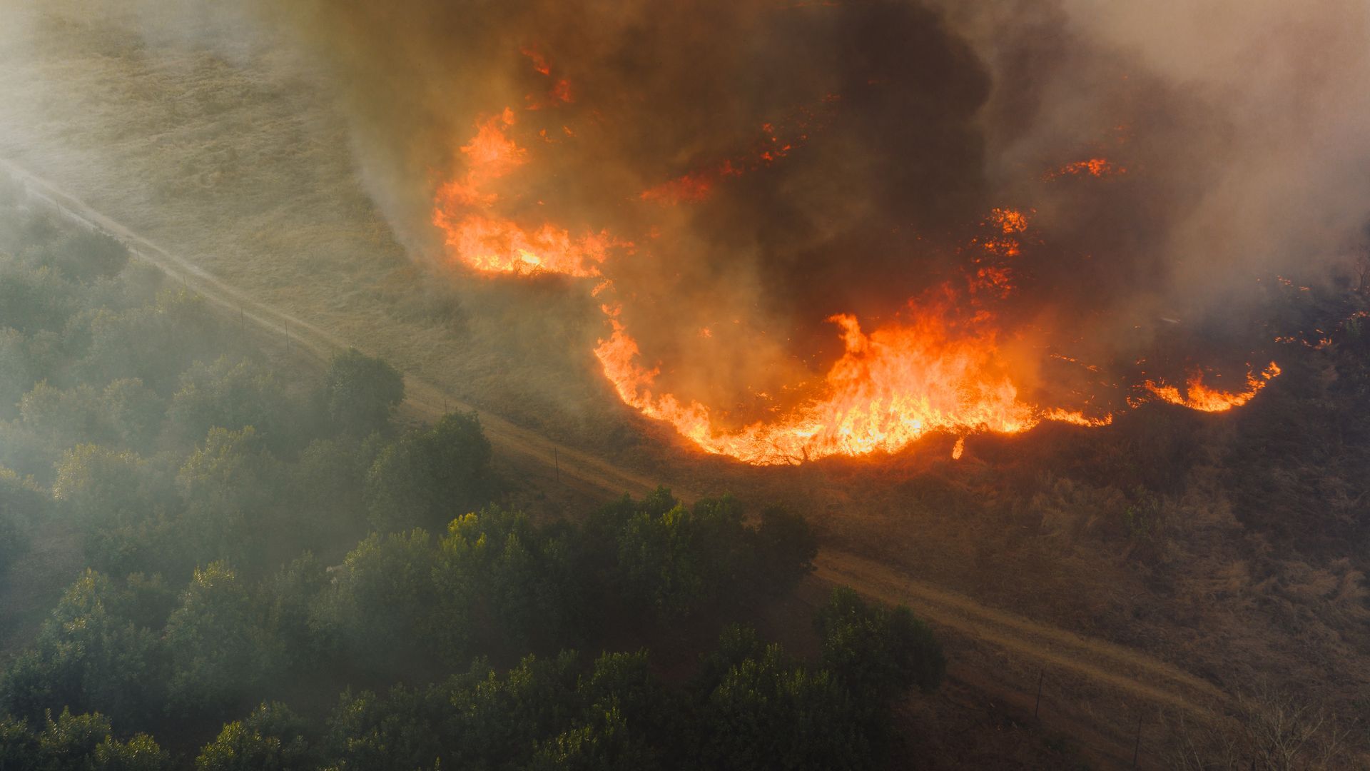
SimActive Enables Rapid Orthomosaic Production for Planned Burns Mapping
LEARN MORE
May 14, 2026
Gaussian Splatting Meets Photogrammetry: SimActive Integrates New Capability in Correlator3D
LEARN MORE
May 11, 2026
SimActive Supports Remote Environmental Mapping Operations in Hawaii
LEARN MORE
April 13, 2026
SimActive Releases Correlator3D Version 11 with Gaussian Splatting
LEARN MORE
March 16, 2026
SimActive Supports Accurate Mapping of Critical Infrastructure Corridors
LEARN MORE
February 25, 2026
Rapid Mapping for a 24/7 Defense Environment: SimActive on Speed, Security, and Scalable Intelligence
LEARN MORE
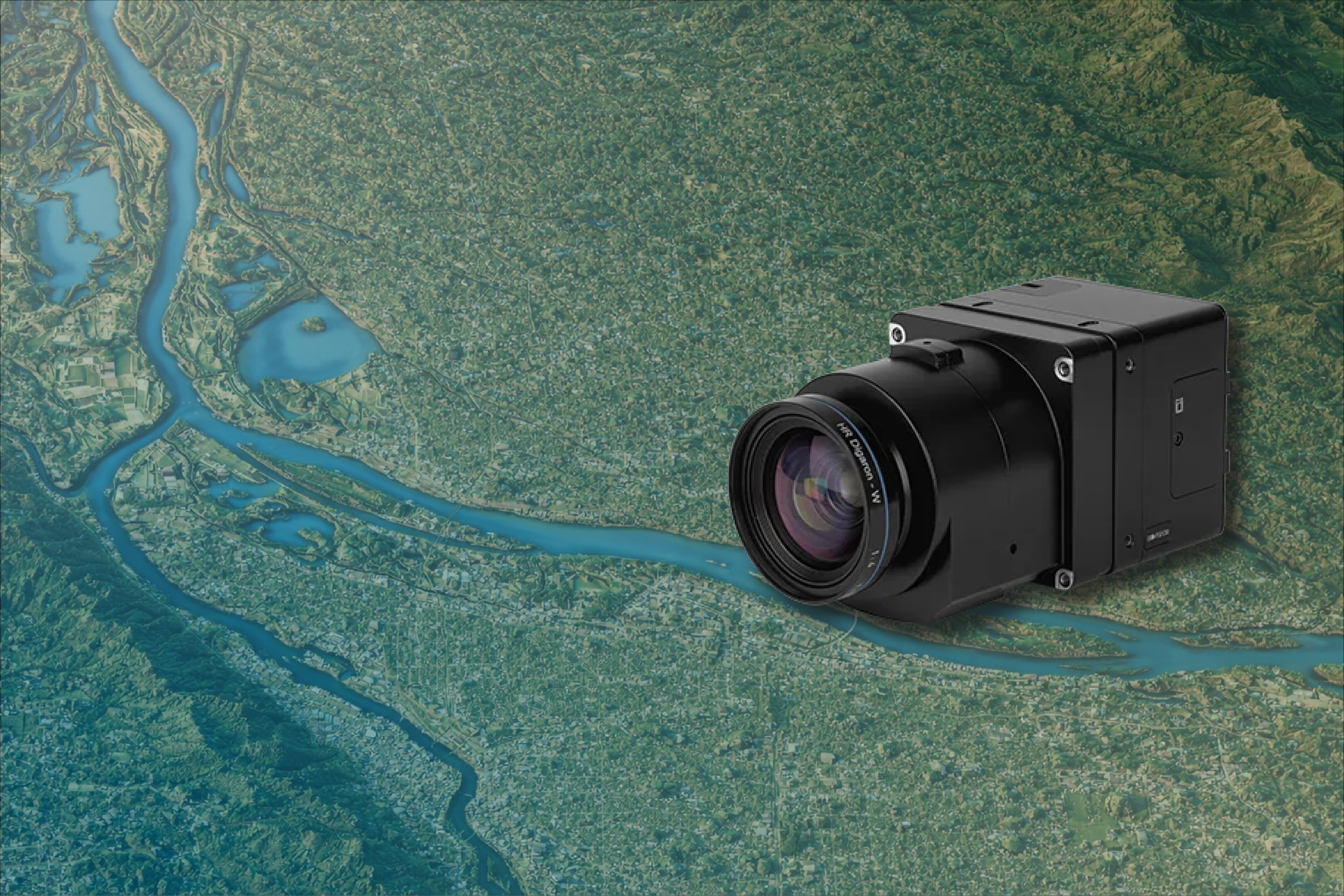
February 18, 2026
SimActive Integrates New Phase One Sensor for High-Resolution Aerial Mapping
LEARN MORE
January 20, 2026
Accelerating Mapping with Distributed Processing
LEARN MORE
December 04, 2025
Drone Mapping in 2026: What’s Driving the Next Era
LEARN MORE
December 02, 2025
Mapping Trends for 2026: Speed and Reliability Take the Lead
LEARN MORE
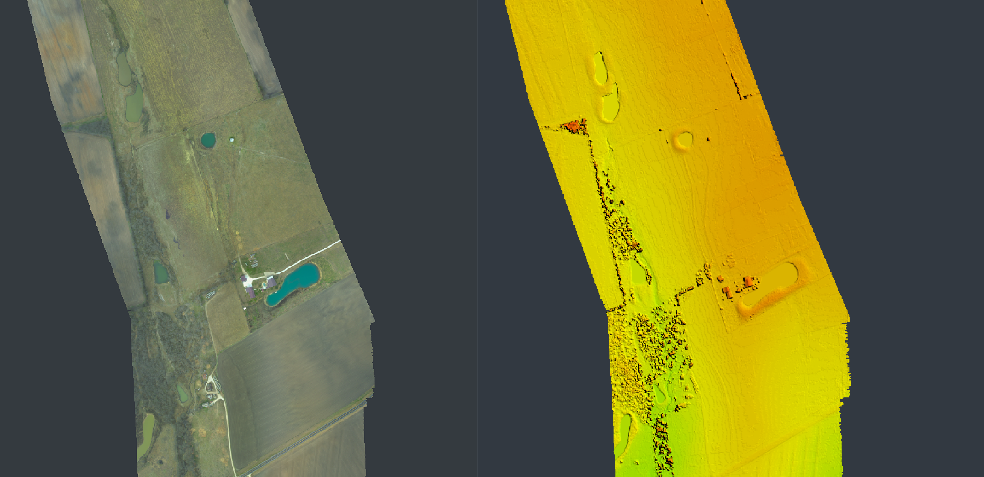
November 03, 2025
SimActive Powers Lidar–Imagery Integration for Enhanced Mapping Accuracy
LEARN MORE
.png)